Riding buddies to Haines Junction, Canada.

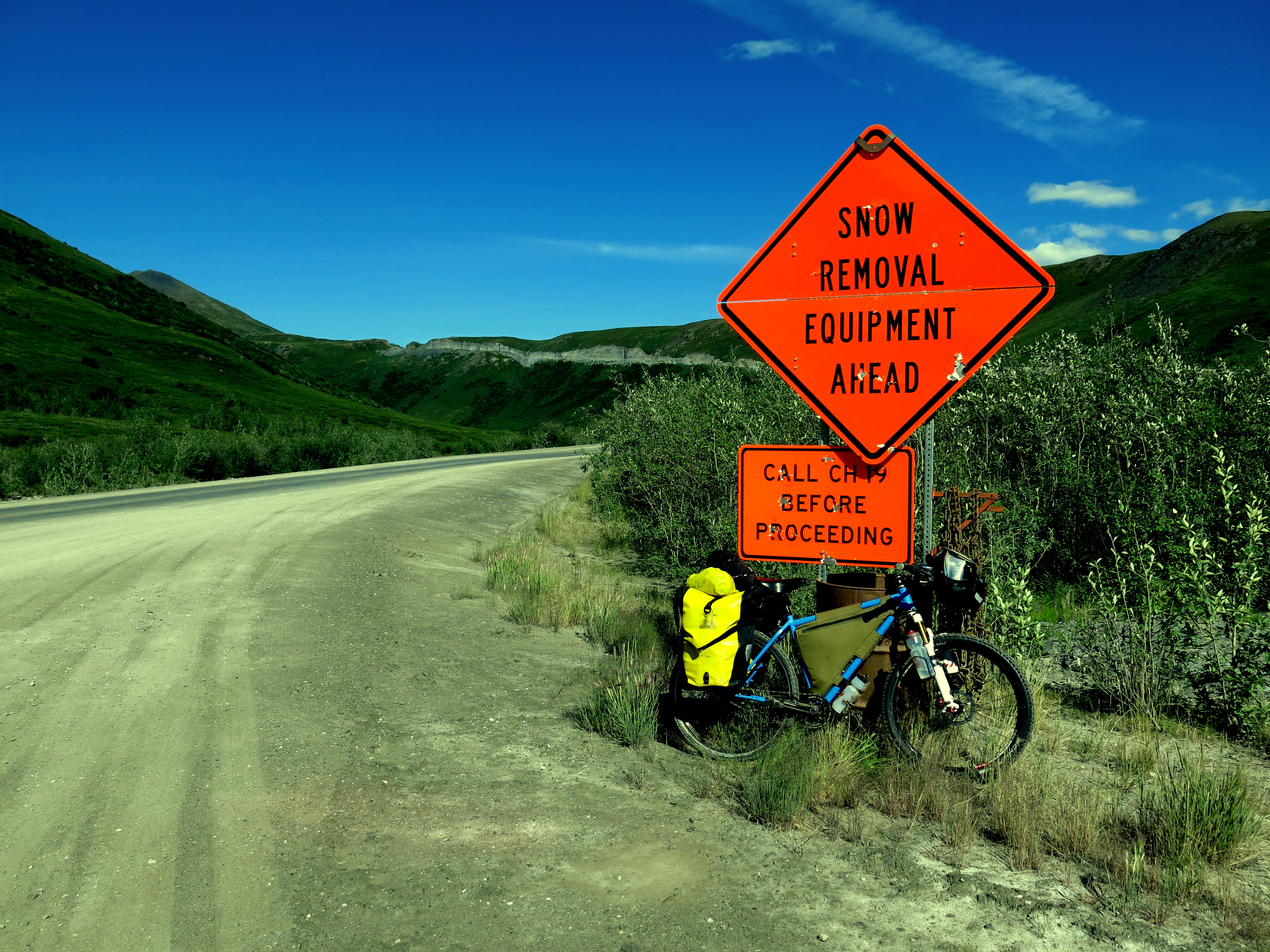
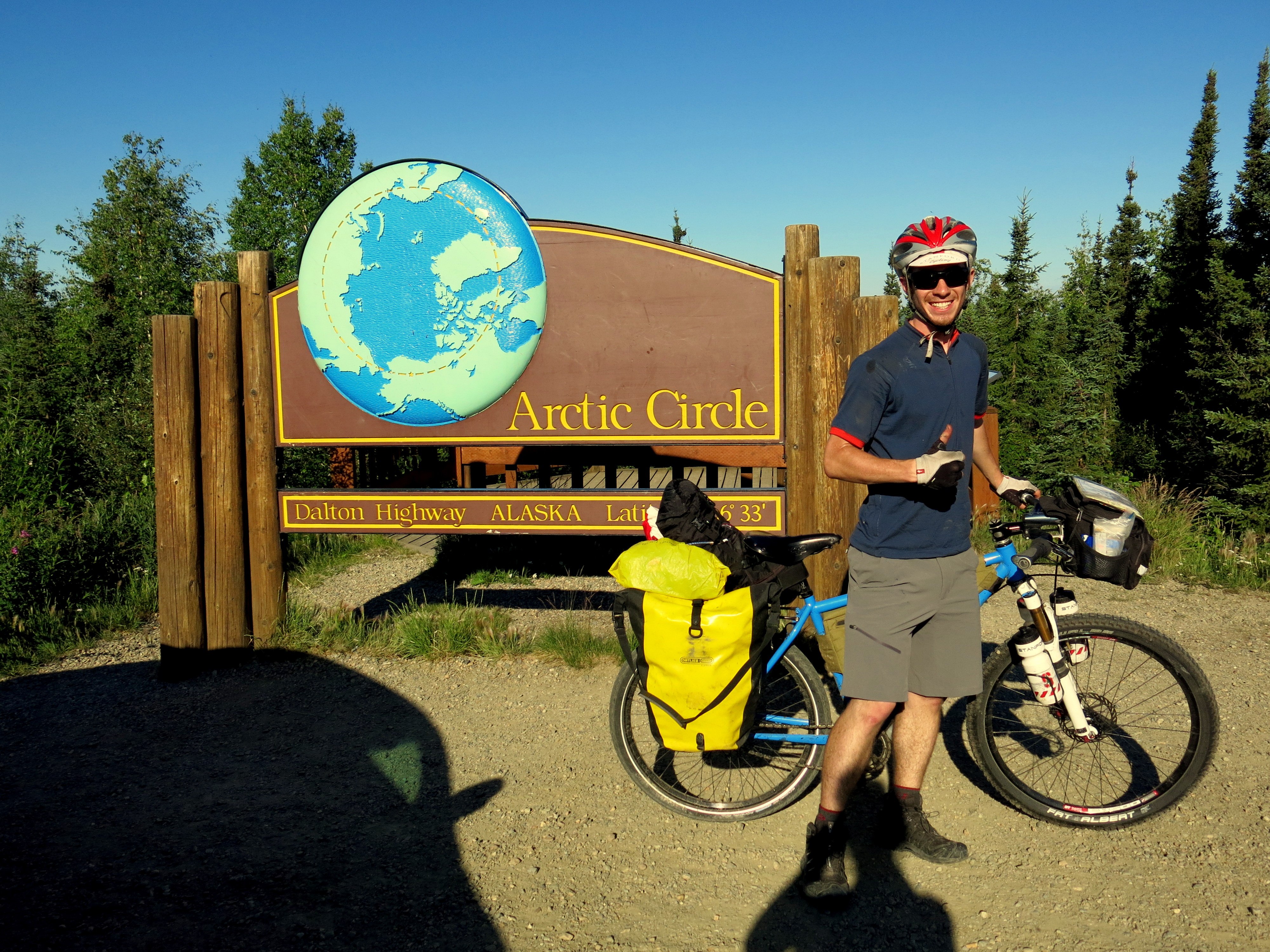
Wow. Last week of riding, from Tok, Alaska to Haines Junction, Canada (Canada!) has been unbelievable. Riding with awesome people, minor disasters of flat tires (one of mine) and a broken spoke (not one of mine), crazy swarming hungry mosquitoes, fun dinner/desserts/games. More below…

IMG_4404From right to left: Stevia, me, David, Carolyn. Stevia, David, and Carolyn are the Oregon cyclists that I had been hearing about as I neared Tok. Upon leaving Tok, we all wound up running errands in the same places and rolling out at the same time, so started riding towards Haines Junction together. They’re incredible- David and Carolyn live/work/run a farm in southern Oregon, and Stevia lives and works in Portland and knows David and Carolyn from some time back. They pretty much adopted me into their group for this portion of their ride, and unfortunately we had to go our separate ways in Haines Junction, as they’re headed south to visit some friends and return home and I’m heading on further into the Yukon.  David grew up in Anchorage and knew a lot about the areas we cycled through from past rides (and gave me many tips about bears, super useful info).

IMG_4321
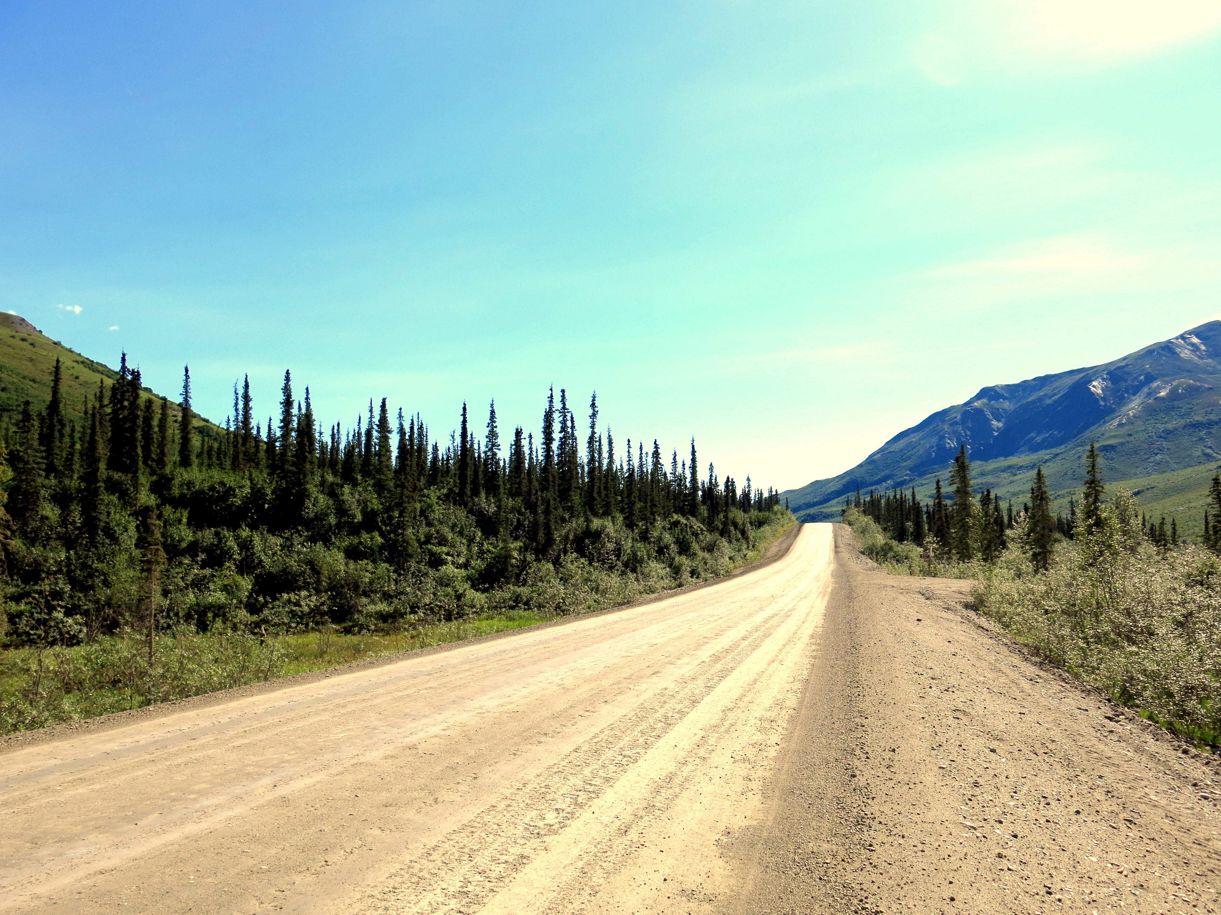
Once in Canada, there were several portions of the road under construction, which means gravel. The sun was shining down hard each day, and the high temps mixed with the gravel meant dust clouds billowing up and enveloping us whenever an RV or truck roared by too quickly. Scenes like above, with us emerging from clouds of dust, were common.

IMG_4369The day of riding from Destruction Bay to Haines Junction was particularly pretty scenery. This whole portion of the Alaska-Canadian (Alcan) Highway winds it way through two mountain ranges, so there are always hills rising alongside the road. After Destruction Bay, the road sticks to the side of Kluane Lake, which cools the air a bit. There’s a great little visitor’s center at Sheep Mountain, with binoculars and telescopes to catch glimpses of the sheep resting in the mountains. Great views, but bring plenty of supplies for this portion of the route- no grocery stores out here, so can stock up on basics at gas stations, but it’ll cost you. A small jar of peanut butter was $9.25, and the stuff has been my main fuel source for the last week.

IMG_4341

A couple days later, true disaster struck when a spoke in David’s rear wheel broke. He had a temporary spoke with him which he tried to fix the wheel with (very few, almost no services between Tok and Haines Junction, and definitely no bike shops until Whitehorse), but unfortunately the temporary spoke didn’t hold. He ended up having to hitch-hike to Whitehorse to get spare spokes and fix the wheel while Stevia, Carolyn, and I kept riding, and a bit of luck with the hitch-hiking let him return to us after only a day and a half of riding, so we all got to roll into Haines Junction together. We pushed hard and put in a lot of miles the last few days leading up to Haines Junction, because thoughts of the bakery had been replaced with thoughts of something better…

IMG_4399
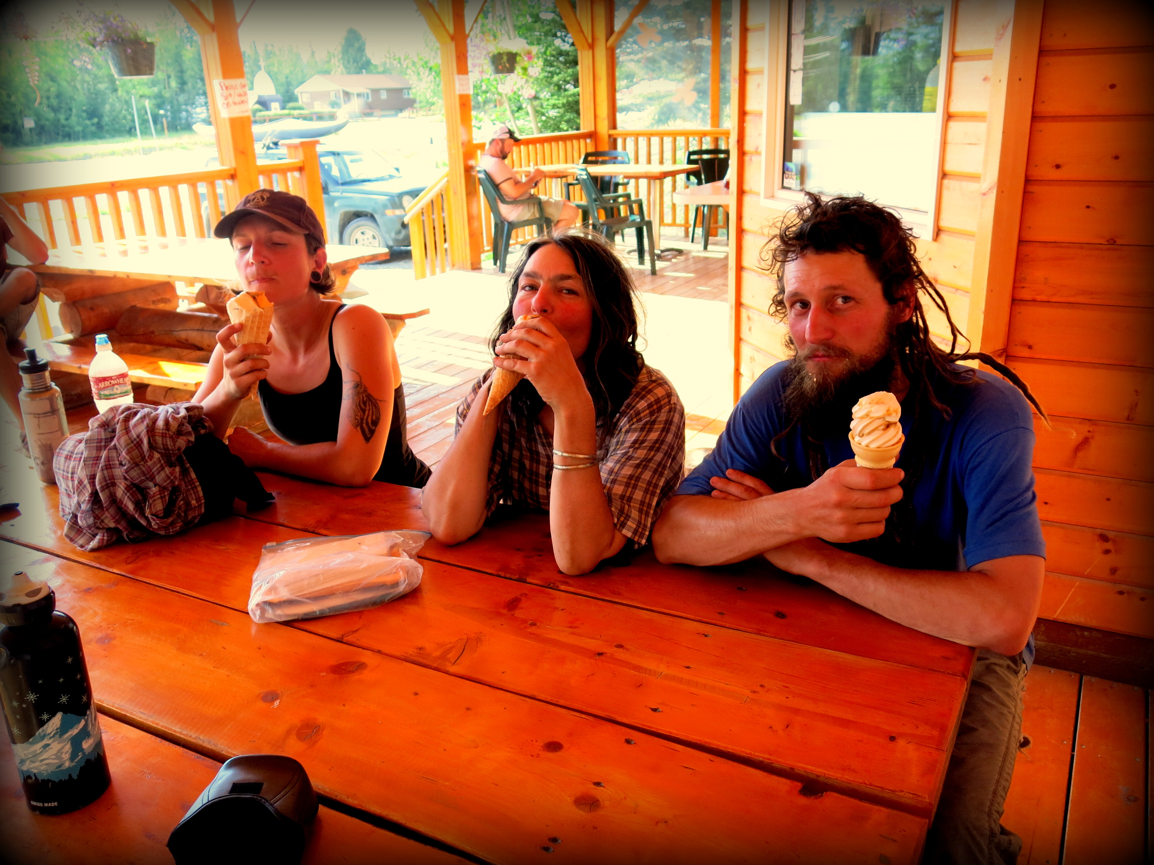
Ice cream! Frosty Freeze in Haines Junction scoops up deliciousness.

IMG_4390I got 1 scoop of mint chocolate chip and 1 of New York cherry cheesecake. Mmmm. Thanks David for treating! Locals all say this week is abnormally hot, every day consistently around 80deg F. Though apparently last week poured rain every day, so despite having to bike in the heat every afternoon, our timing was good.

Now, our paths have split after a celebratory breakfast at the Haines Junction bakery (best feature is unfortunately that the last couple hundred miles are barren of supplies rather than quality of treats, but still a decent spot). So I’m solo once again, heading on to Whitehorse for a few rest days and to figure out the next portion of my route. Stevia, David, Carolyn- I’ll miss you guys so much! Been great to ride with you for the past week, hopefully the rest of your trip goes well and we meet again someday!

Update from the road…

Last few days spent pedaling on mostly pavement, highways. Spruce trees all around, on both sides of the road, except for on the slopes of the tall mountains, where the trees abruptly stop as one at some higher altitude. Remote is the best adjective to describe the past couple of days, though it’s a civilized remoteness, as the roads are all well maintained and every 30-50 miles or so there’s some lodge to fill up water bottles instead of relying on rivers and streams. Good wind and weather most days, though the first two days out of Fairbanks were spent battling headwinds. On those days, the tough days, I pass the last few miles watching intently for every mile marker, counting down to the last one that marks that I’ve gotten to my destination. Heading to Anderson, the destination for the first day out of Fairbanks, this was particularly draining, as all along the road there were spots that looked perfect to pitch the tent, and this is allowed everywhere in Alaska unless the landowner specifically puts up a “No Trespassing” sign. But I had been told that the Anderson campground was nice, and I’m still nervous about bears, so I kept pedaling the 6 miles detour to Anderson city. And it was worth it, since the sky was overcast and the nearly empty campground had a covered pavilion to eat in, so I pitched my tent under the pavilion’s roof and woke up dry the next day. So now I keep that in mind on days when I’m low on energy, and so far all the places that I’ve been told straight up are good have been good.

The Denali Highway was fantastic riding, and I would highly recommend it. It’s gravel for 114 of the 135 miles, and very bumpy and not great gravel in places, but on a clear day the views of Mount McKinley (or Denali depending on who says it) and the surrounding Alaskan range are fantastic. Dark gray and black sides of the mountain taper to white snow closer to their peaks, in great contrast to the green spruce trees everywhere else. When the day is not perfectly clear, these peaks are shrouded in clouds and mist, blocking some of the views, but still good contrast.

Few (maybe, probably lots) of other cyclists on the road. On the Denali Highway a group of around 15 passed me going east on some kind of organized tour, like an Overland trip but for adults. In Gakona I ran into a Canadian couple, Beat and Jacintha, who had ridden north from Argentina and were now just finishing their trip. Lots of good advice from them. A 16 year old from Alaska was also in Gakona, took a week or two off from work to ride around Alaska a bit, had a ton of energy and was channeling it well into the bike, easily besting everyone else’s average speed. Always had something to talk about too, which served him well, he’ll possibly end up riding someday in the Tour de France. Then I heard about a group of three cyclists from Oregon going in the same direction as me but a day ahead. I stumbled across one of them in Tok, the last town before Canada, as they took a rest day here, and we’re heading in the same direction for the next few days, so will probably meet up with them again. All word through the cycling grapevine talks about a fantastic bakery in Haines Junction, Canada, a few days away, so highly looking forward to that.

Will post some pictures as possible. Canada route a little bit up in the air- lots of people recommending taking a ferry through the Alaskan Marine Highway and cutting off large portions of Canada, but others saying just to ride it, as there are supposed to be great views and some town with huge, nice, warm, awesome hot springs. So we’ll see. For now, after Haines Junction, next major town is Whitehorse.

Back from the Dalton Highway!

Image

Deadhorse, AK to Fairbanks, AK.

First 500 miles in the bag. Ended up making much better time than expected, thanks to a lot of unexpected little motivations along the way. These included: a) trying to keep up with Wataru, a Japanese cyclist going around the world, who’s been riding for 1 year 7 months and was thus in much better shape than I was; b) worrying that I had underestimated how much fuel my stove would need and thus not having enough for 10 days; c) decent headwinds (or at least lack of tailwinds) most days; d) having the sun shining down almost every single day and discovering that the Dalton Highway is in pretty good condition when the sun is shining. I would guess about 30-40% of the Dalton is paved, and the rest is fairly hardpacked dirt. Knobby tires and suspension not necessary, though the suspension definitely helped smooth out the ride.

Image

Wataru and all of our gear upon arriving in Deadhorse. Photo taken at midnight.

Image

The next morning. Loaded up and ready to head south. Deadhorse is freezing! All the winds coming off the seas blow right over the town (town = very small collection of buildings), and since nothing grows on the surrounding tundra there’s nothing to shield from the wind. So we bundled up. The last few miles north from here to the Arctic Ocean are on a private road controlled by BP; no outside traffic allowed. This was the last time I saw Wataru…

Image

 Fairbanks is only a few miles away…

IMG_3963

The Actic tundra. The land looks like this for the first 150 miles or so south, until you cross over the Brooks Range. All around grass covers the land, and without weeds, it looks like perfect ground to plant crops on. At least it does until you actually step onto the grass, then you realize it’s actually a marshland. There’s a layer of permafrost a few feet under the surface, which, even though the tundra is a desert, keeps all the water that does fall on top of the surface. The pump stations that keep the oil flowing through the pipeline have to be built on refrigerated bases to keep from melting the permafrost underneath them.

IMG_3980

The Alyeska pipeline, cutting across Alaska from Prudhoe Bay in the north to the port of Valdez in the south. This beast is the whole reason the Dalton Highway exists, and it rises out of the ground next to the road almost the whole way. Sometimes it dives into the ground when the road crests a hill, but it’s always present. Respect to the engineers who designed it- apparently the pipeline is currently 10 years past its design life and still going strong.

IMG_3987

Alaskan mosquitoes are killers. They swarm if there’s no wind around. Their bodies have some kind of natural antifreeze to survive the -40, -60 degree winters. Supposedly the ones in the Arctic are the worse; we’ll see. These little buggers are responsible for driving the herds of caribou into the cold, high mountains all year. Don’t attempt to bike/camp up here without at least mosquito netting for your face.

IMG_3986

Camping spots were always easy to find along the Highway. There are some designated spots with drop toilets and bear-proof trashcans at 60/70/80 mile distances, or there are plenty of construction and pipeline access roads to pull off on and set up camp. I had no problems with bears, only saw a few tracks, though some people driving I talked to said a black bear had crossed the road in front of them that morning.

IMG_3992

Atigun Pass in the Brooks Mountain Range is the tallest obstacle in the road, though really it’s not very steep, just a little longer of a climb. Climbing over Beaver Slide further south was much more difficult, just because it was much steeper and was a mess of loose gravel when I got to it. Might be less of an obstacle heading south-to-north, but a lot of the road south of the Brooks mountains is a lot of rolling hills, so hard to say which direction is more difficult.

IMG_3997

Luckily I encountered no snow along the road. The truckers, of which there are many, were always very courteous, slowing down and giving plenty of room when passing to avoid spraying gravel everywhere.

IMG_4014

The farthest north spruce tree is just on the southern side of Atigun Pass. Unfortunately, some vandals took a chainsaw to it a couple of years ago and killed it. But Mother Nature recovers, and due to the Earth warming a few trees have started growing a tiny bit north, so eventually this sign will get moved. Due to the extremely short summer up here, all vegetation takes about 4-8 times as long to grow as their southern counterparts.

IMG_4037

Crossing over the Arctic Circle, where in the summertime the sun circles in the sky all day long. This made pitching the tent at night a logistical headache, as there was no rhythm everyday as to where the sun would be the next morning, and thus no good way to avoid the sun shining right on your face in the middle of the night.

IMG_4023

The section of the road just south of the mountains was one of my favorites. Hardpacked gravel, spruce trees everywhere, and usually a strong river flowing on one side of the road; beautiful.

IMG_4050

The Hotspot Cafe at Five Mile is one of the legendary (few) eating places along the Dalton. Not knowing what time they closed, I was determined to get here day 5. The place was started not long after the Dalton Highway was built, as according to legend two pretty young ladies decided to come to Alaska to make their fortune. They opened up a shack selling hamburgers to the truckers, and business boomed. One of the women ended up marrying a trucker and moving to CA; the other, Teresa, still runs the cafe with her staff and still serves quite a tasty burger. I was sure I would catch up to Wataru here, so I pushed all day. Unfortunately, he had just left when I got there. After my burger, I decided I had enough of cycling for the day (72 miles in what turned out to be 95deg heat) and called it a night.

IMG_4048

Further south, there were wild blueberries growing along the side of the road. They were a tasty treat, all the more so because I didn’t pack much fruit for this leg of the trip.

IMG_4074

For me, this was farewell to the Dalton Highway. I made it! Now only 80 miles left on the (paved) Elliot Highway to Fairbanks.

And hence, now I’m back in Fairbanks. Have been giving my knees a rest for the past two days, and going through email and gear tweaks after a much needed shower and laundry. Heading on south and east tomorrow towards Denali National Park and then the Canadian border, should be in Canada in about a week. Huge shoutout and thanks to Doug (and Kathy for the connection) at the Univ. of Fairbanks for hosting me these past few days and has been way supportive and generous. Wow. Long post for (at least what seems like) a long way traveled. Hopefully will be able to update more frequently in the future.

Never quite managed to catch Wataru again after Deadhorse, everyone I asked along the Dalton always said he was 1-2hrs/10-20mile ahead of me. But we have similar plans for at least the first portion of Canada and are both headed towards South America, so will probably coincide again somewhere down the line.

Fairbanks update…

All the flights worked out ok, so I’m now in Alaska! Staying in Fairbanks for the night with a friend of a friend. Tomorrow morning, I take the Dalton Highway Express up to Deadhorse/Prudhoe Bay (a 16hr drive) and start biking south on Weds. Got bear spray and food, so along with the bike I hopefully have everything I need. The journey back to Fairbanks is about 500 miles of wilderness, so blog updates will have to wait until I’m back in the city- could be anywhere from 1-2 weeks. Time to try and get some sleep despite the everlasting sun (11pm and it’s as bright as any proper summer day!).

Very Rough Estimated Route

bike-trip-part1-little-text

Here’s a very rough estimate of the planned route through the US and Canada. Alaska is supposed to have some great riding; the first stretch from Prudhoe Bay to Fairbanks is about 500miles on the Dalton Highway, a completely isolated road that exists only for truckers to get supplies to the oil fields up at Prudhoe Bay on the Arctic Ocean. Outside of Fairbanks is the Denali Highway, which by all reports is a beautiful remote gravel road through Denali National Park. Then into Canada, coming down through BC and Alberta to Banff. From Banff, if the snow holds off, the plan is to cross the US on the Great Divide Mountain Bike Route, which links Banff, Canada with Antelope Wells, New Mexico through the Rockies. But my plans are flexible- if anyone knows any great places (scenic/biking/hiking/other) along the way, let me know!

Build A Bike

Trip’s about to start. Everything’s currently (mostly) packed and ready to go; might pick up few more small things if I see them and they look good, but for now, I think I’ve got what I need. Flying up to Fairbanks on July 8, heading north to Prudhoe Bay on the 9th, and then getting on the bike and going. Officially, school’s out for a while; now it’s time to go ride and see what there is to learn outside of the classroom. Will post an anticipated itinerary soon, but for now, here’s a little about my bike.

Name: Acero

Purpose: Built as part of Stanford’s frame-building class, ME204, over winter-spring of 2012-2013. I built the  bike for expedition riding, with mountain bike geometry and wide tire clearances. Currently built up as a mountain bike to be better suited to off-road gravel/dirt riding, and to hit up some singletrack when the trails look good. If I end up riding more paved roads, I can always swap out the front suspension fork for a rigid fork and put some slick tires on the bike, and keep on truckin’. Versatility is good. The rear wheel is laced up with a Rohloff internally geared hub, which should protect the gears from mud/dirt/snow and keep on rolling when the going gets tough. Thanks a lot to Neil over at CycleMonkey for helping set me up with the Rohloff; it’s been working well in the three weeks since the bike has been finished and ready to ride, I’m super excited to put some miles on it and put it through its paces.

IMG_0547

At the start: a couple of tubes and a full-size drawing.

IMAG0854

The process: measure, mark, check measurement. Repeat many times. Eventually, cut a tube.

IMAG0859

Getting those welds done.

IMAG0878

Brazing on water bottle bosses.

IMG_0660

Rear triangle; the close spaces back here made some of these welds tricky to reach.

IMG_0564

A happy moment.

IMG_0683

Pre-painting.

IMG_3815

Post-painting; looking pretty!

IMG_3880

Rohloff close-up. 14 internal gears promise durability- something sought after on a long journey.

IMG_3863

Ready to ride.