Caught in that vortex. Traveling rule, the longer you stay the harder to leave. Looking at the map together, Peter says why go, just settle in, stay. But my time is coming soon. San Cristobal snapshots.
 Old-school VW bugs, integral Mexican identity.
 Locals and indigenous people selling goods.
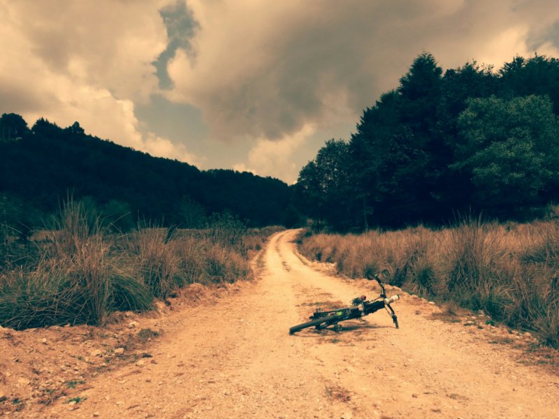
 To escape the city, head into the surrounding mountains. Various iOS and Android apps can supply GPS routes, though the backup option is just to get away from the highways and start on the network of back roads.
 To the church at San Juan Chamula, a Catholic church that the local people reclaimed.
 Back in town, past the unmistakable smell and sound of a tortilleria, the machinery within pressing and shaping masa dough into those small discs.
 Who bring some gear and clothes, some to swap out, some to use just for the week.
 Travel to ruins, these at Toniná.
 To Palenque, massive Mayan site farther east in Mexico.
 Greenery and vegetation, in abundance.


