Day 80. First full day in Colorado, crossing the watershed divide to Steamboat Lake.

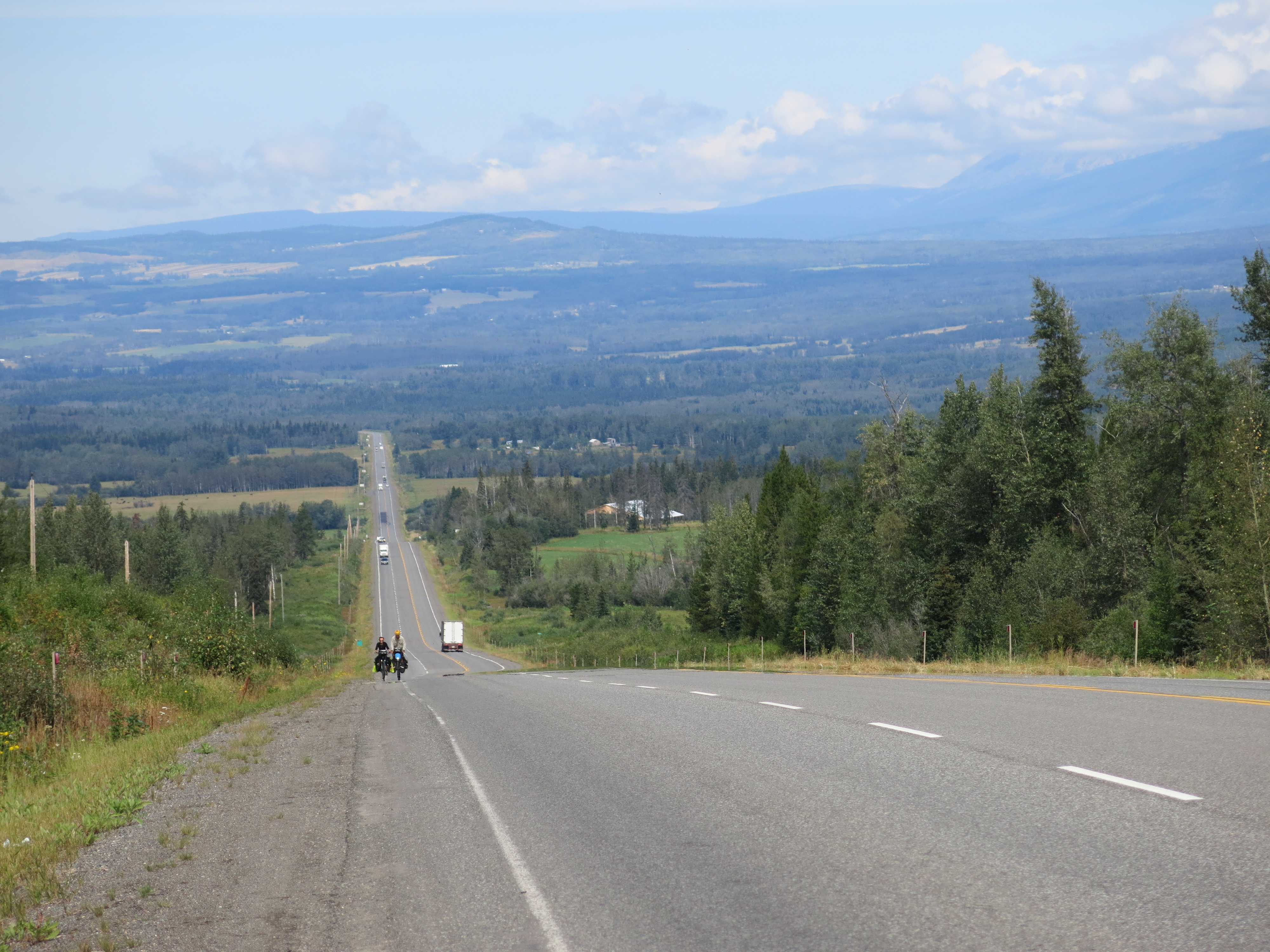
Got snow during the night. Didn’t look too bad when we woke, still snowing a bit, eat breakfast in the tent. It’s cold this morning, but the coffee is warm. Sit around in the tent a little while longer, get packed up, go. Starts snowing a little harder right as we start leaving. Beautiful as we start the climb, snow is falling, check biking through snow off the list, there’s snow hanging in the trees on the side of the road. Perfect. It’s cold but we’re warm from climbing. Soon road gets too rocky, can’t ride anymore, have to push the bikes. Seatstay bridge is wide enough to grab hold of to pull the bike uphill. Helps when pushing the handlebars is too hard to get traction. There are a couple of fallen trees blocking the road, have to forge a way through the forest around them, one, two, three, four in rapid succession. Keep climbing. There are a few sections that are ridable but they last seconds, end up sliding back and forth in the mud, so back to walking. We push the bikes for the last 2-3kms. Snow’s falling more heavily at the top, blanketing everything, can’t even see the two tracks left by cars, following a blank space between trees and hoping that’s the road. Miss the right turn at the top that starts the descent, Virgile talks to two hunters parked up there, they point us the right way. No good when the road is unsigned. Descent down is hard. 10km, pushing the bike for all but the last 2, freezing, don’t have the exertion of the climb to stay warm anymore. Hands aren’t numb but close, wearing the rain gloves, Marion wearing my warmer set. Tired at that point too, and hungry, really should have had something easy to eat at the pass. Descent becomes frustrating, just low on energy, everything becomes annoying, cold always, just have to get down, no other option. Everything at the top covered in snow, the portions that are clear farther down are only visible because of water running over them, no good break points. Eventually get to the bottom, maybe two hours later, head to Steamboat Lake, some hunters we passed said there’s a place to camp and get coffee there. We arrive, there’s a building with a laundromat and tables to sit and eat, it’s warm, perfect. We huddle inside, perfect shelter, start stripping off wet clothes, grab all our merino off the bikes. There are hot showers next door, too warm, almost shocking contrast to the last five or six hours. But oh so nice. We make coffee and a big pot of rice and zucchini and sausage for lunch, this after eating nearly all our cookies. Dates turn out to be a perfect food after the cold, they go well with the coffee. Big meal, at this point we’re sprawled all over the two tables in the building, one with drying clothes, one with food. Continues to snow outside, but it’s not sticking down here like it was at the top of the mountain. Should be great pictures tomorrow, forecast is for clear skies for the next few days. Plan is to sleep in this building tonight, it’s heated, we’ll be warm. Crazy day of riding today. We did maybe 15-20km, maybe the hardest or second hardest day of the trip. Welcome to Colorado.

imageCampsite in the morning.

imageOn the way up the climb, while the route was still ridable.

imageSnow all around.

imageAnd worse at the top.

image
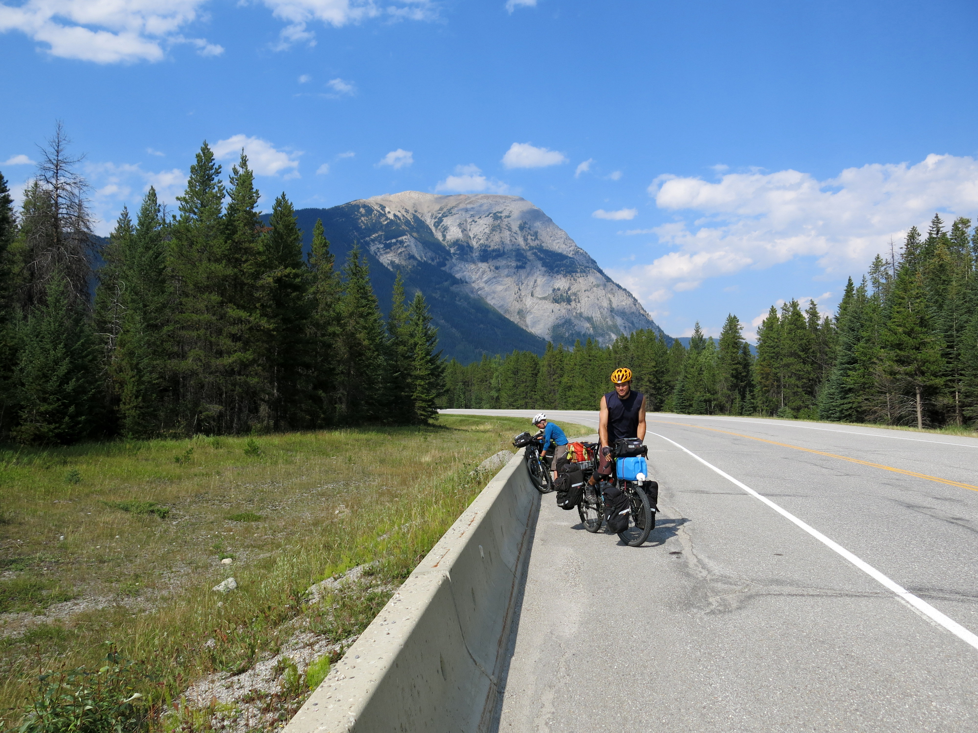
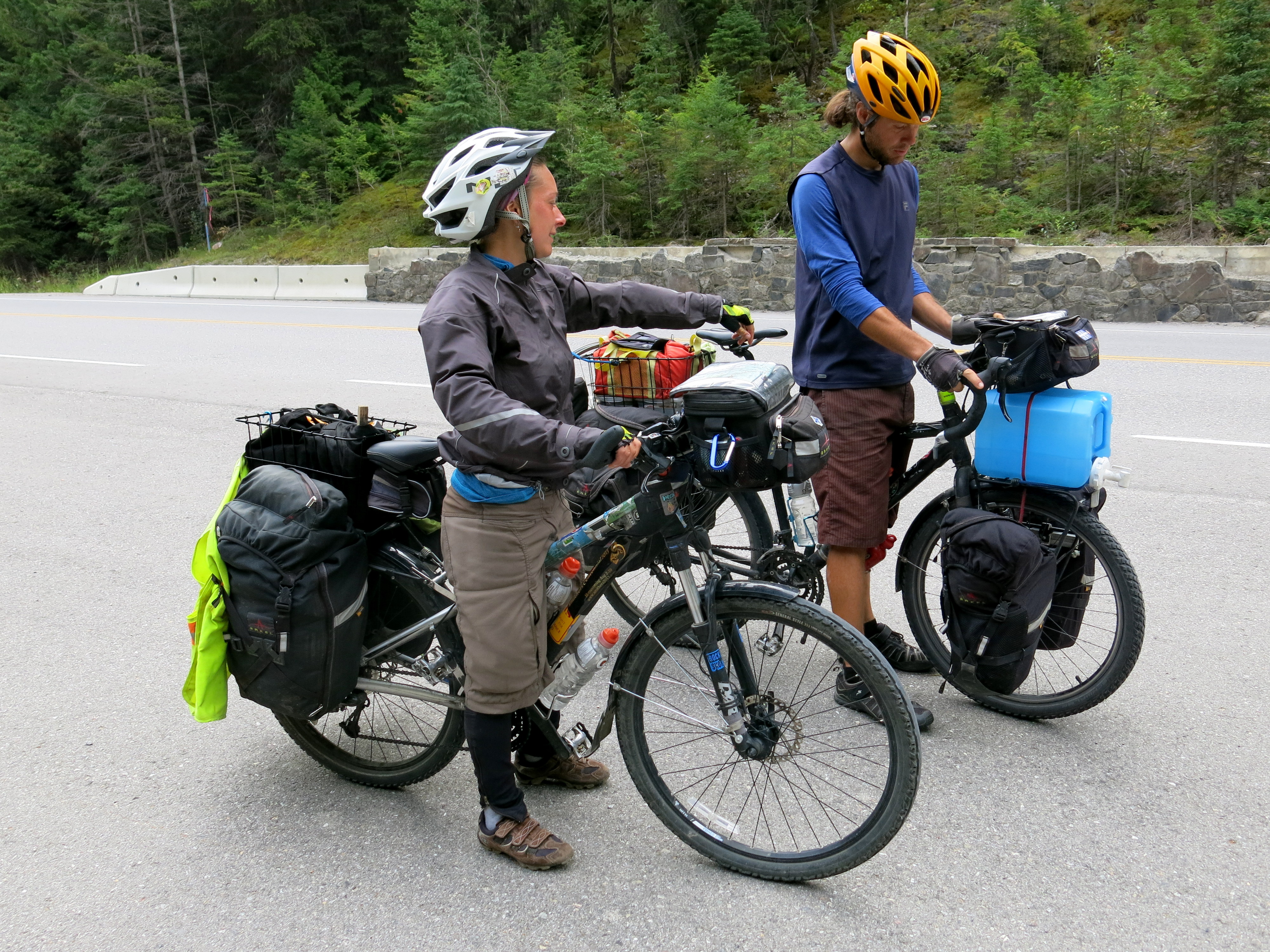
Pushing bikes, on the way up and down.

image

Luckily, we found a warm shelter at a campground in Steamboat Lake to spend the night.

image
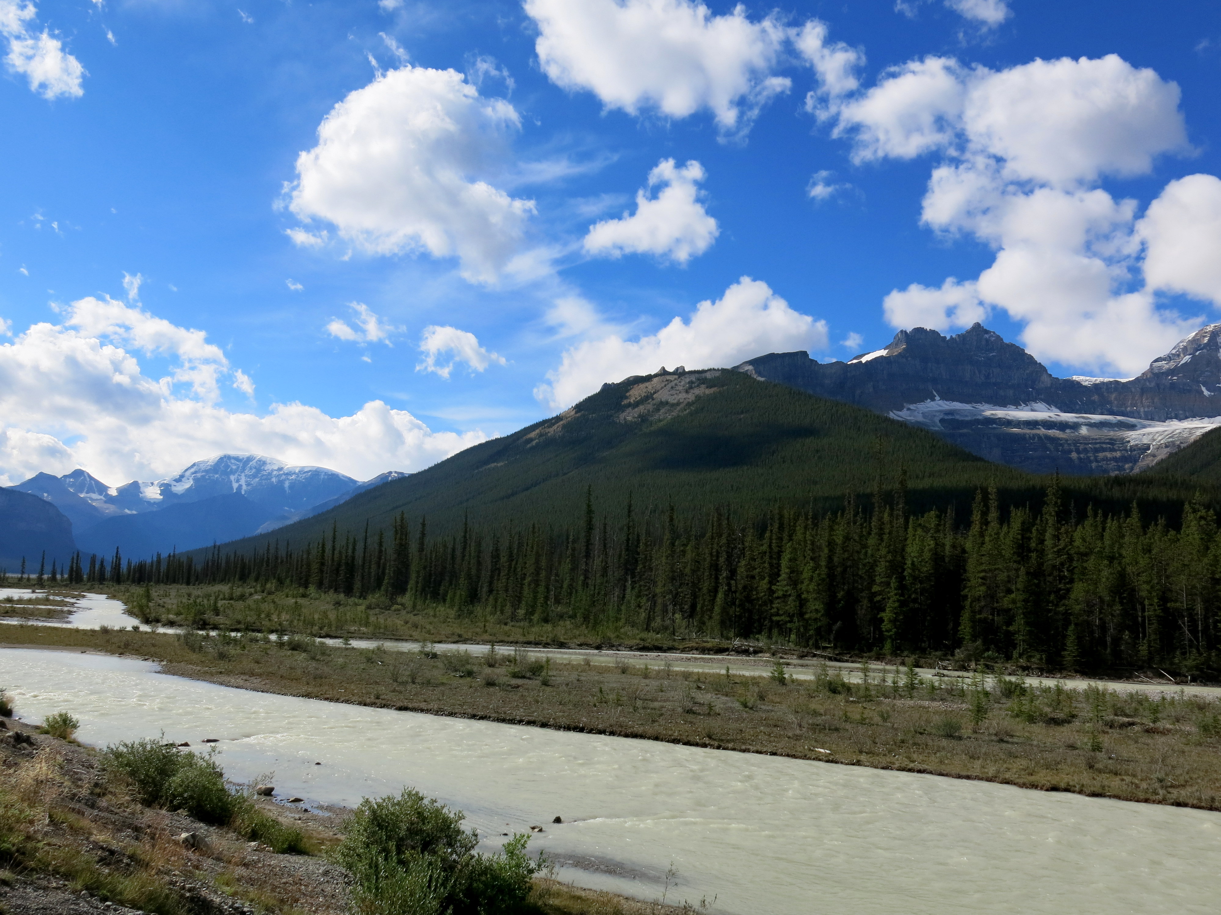
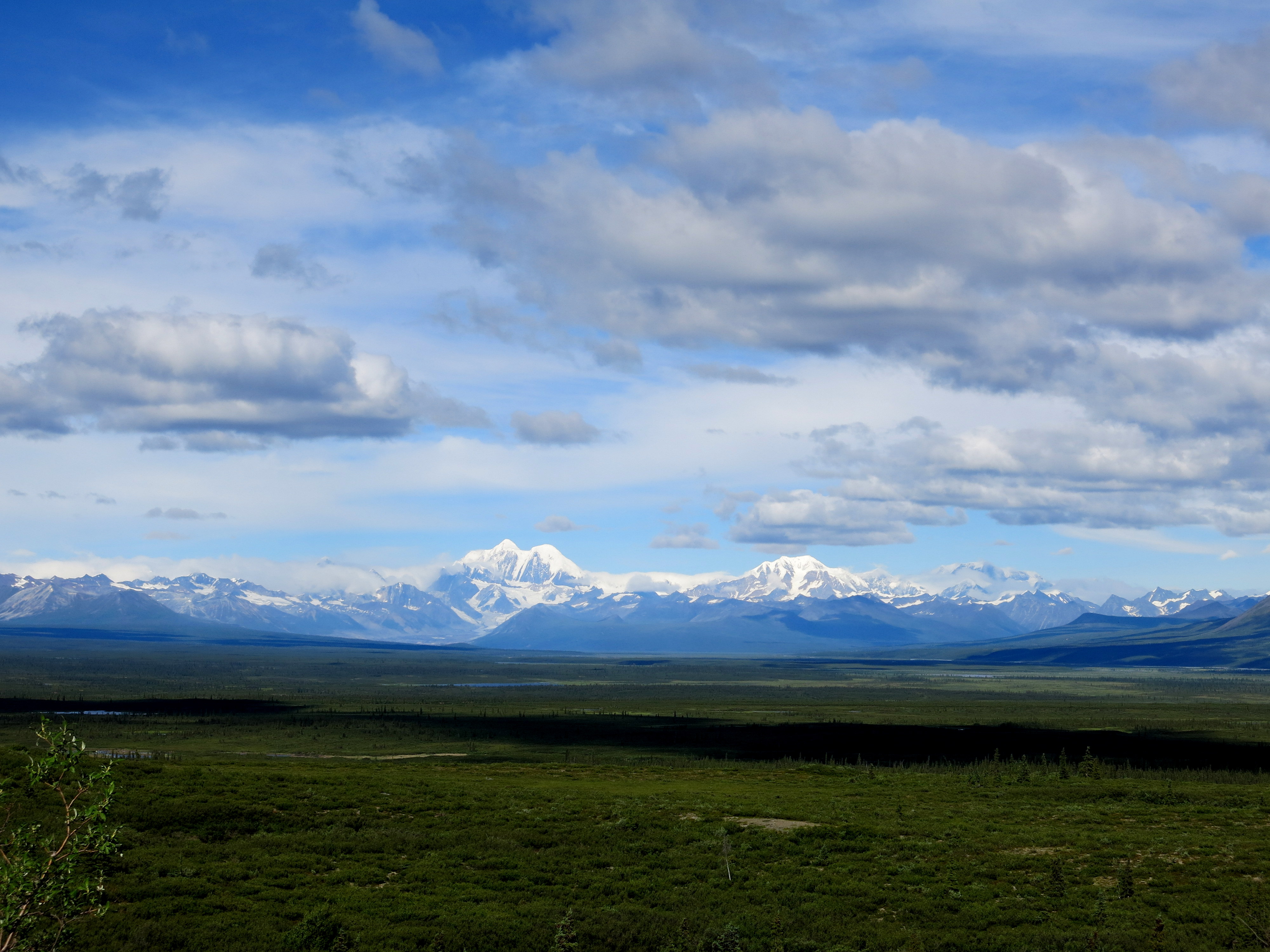
The next morning, the storm had stopped, affording clear views of the mountains we had come through.

Day 78. Outside Rawlins to the National Forest, just before Colorado.

Wow. Today was tough, though now, lying comfortably and warmly in my sleeping bag, the day’s difficulty is slowly seeping away. The wind slammed us as soon as we got on the bikes; Wyoming seemed not to want to let us out of its clutches. We rode 51km today, and it was an all day effort, averaging probably 7, maybe 8km/hr in the morning, and thankfully we were probably doing 10 or 11km/hr in the afternoon. Don’t even bother converting that to mph. Talking this morning at breakfast, we didn’t expect to go farther than 45km, but here we are.

We had a good dinner tonight. Virgile and Marion are quite proficient fire-makers, so we had a nice one to huddle around and get warm. Almost everyone who drove by us and talked to us today said we’re crazy to be riding the Divide this late, and that it’s going to snow tonight for sure, we’d better get moving. One man was quite rude about it, insisting we’re the last riders of the season, when who knows, there could easily be someone behind us, especially if they came down from Alaska and started there a week or two after we did. People have ridden the Divide later than we are now, and if the snow gets too bad, then it’s just time to find a different route. Maybe everyone’s just excited because this will be the first snow of the season. Whatever happens, for now we’re safe in our tents, and once we reached the forest, the killer wind died down. Cold we can deal with, especially with climbs to warm us. But wind, headwind, is just mentally-draining, an invisible force against which we can do nothing but put our heads down and struggle against. It won’t be the last headwind we encounter, though. Headed to Patagonia, where it’ll be a toss-up whether we get lucky and catch tailwinds across the region or will be fighting headwinds the entire time. There the winds are legendary. This is just practice.

imageStrong winds and gravel roads make a good argument for biking with nose and mouth covered.

imageJust keep riding.

imageSo windy that pushing is as fast as walking.

imageRefuge in the forest.

Day 75. A&M Reservoir to before Rawlins.

Windy night, had trouble sleeping because of the tent sides flapping around. But up early, sun hits the tent almost as soon as it rises in the desert, nothing around to block it. We make oatmeal and coffee, rationing and closely monitoring our fuel use to last all the way to Rawlins. Great Divide map listed Atlantic City as having ‘all services’ but apparently this doesn’t include gas stations, so Marion and Virgile are running low on fuel. I have just enough alcohol left that we scrape by. Today marks our third day in this desert, we camp just outside of Rawlins tonight and then will spend tomorrow in the city. The Divide maps say that this section of the route has the least water north of New Mexico; coming through in September, we found at least one place to resupply each day, more than we expected, so we’re carrying more water than we needed. But it’s been hot during the day, so maybe earlier in the summer we would have drunken a lot more water.

First 20km of the day are almost straight into a headwind, but we form a paceline and push through it. Then we turn left and after 5km the wind changes to a massive tailwind, propelling us forward for 30km to the junction where we stop for lunch. We can see storm clouds brewing, the first clouds seen after three days under the endless blue sky in the desert, so we eat lunch under the body of some construction vehicle. The storm breaks just as we finish lunch, so we spend the next 45min huddled under this machine staying warm until the storm passes. Then only 10km to our campsite for the night, we get the tents up and Virgile makes a big fire where we recover from the chill of the storm and cook and drink coffee and hot chocolate.

I’ve crossed the Continental Divide 9 times now on the route. The desert we just came out of is called the Continental Basin, where water drains neither to the Pacific or Atlantic but stays trapped in the ground where it falls. I had no idea this kind of landscape existed in the Rockies, thinking it was all just rocky ground and mountain forests. In three days of riding we spent nearly every single moment alone, the only other people we saw were the occasional hunters (hunting the antelope that roam this desert) and on the second day, some oil workers. The basin is said to have more oil than Saudi Arabia, all shale oil, and if it starts getting developed this section of the Divide will be very different in a few years for sure.

Will be in Colorado in just a few days now, headed for the towns of Steamboat Springs then Silverthorne then Salida to Manitou Springs, is the current plan. Will either then continue riding the Divide into New Mexico or alternatively head into Oklahoma/Texas then west to Arizona. And so the ride continues.

image

In the desert.

image

Three bikers together.

image

Last tree for three days.

image

Chilly mornings are common now.

image

Continental Divide crossing number 5.

image

This little guy was digging big holes in the road.

image

Weather climbing up to Union Pass.

image

We climb, always.

Jackson to South Pass City, WY

Left Jackson, with a face I don’t entirely recognize and without a razor that no longer works. Cycled north to a campground with hiker-biker only spots, no one else is there, though the drive-in camping spots are all full. Stop just outside the campground to chat and join the Logans for cocktail hour, who provide salmon and peanuts for appetizers and buffalo jerky for the road ahead, which comes in handy a few days later atop one of the passes. I eat dinner right before I crawl into the tent at night to read/write/whatever. Lately have been cooking or eating at least partially by headlamp, but now everyone’s pretty much back at school and there are no more immediate deadlines to meet so hopefully the days of cycling will get shorter with more rest time and earlier stops.

Back on the Divide the next day, this week getting mostly out of Wyoming involves climbing over nearly one pass per day, and hence at least one crossing of the Continental Divide. The fourth day out has two crossings. Climbs overall not bad, the narrative makes the climb up to Union Pass sound ominously difficult but it’s just long and gradual, not too steep at all. Maybe would be a different story if the road was wet and muddy. The area between Tegoetee Pass and Union Pass seems to be caught in a round of storms, the sky overhead constantly going from blue to black. The storms generally only last about 20 min or so, just have to bike with a constant eye on the sky and watch for stands of trees or building overhangs to take cover under when the storm lets loose.

Depending on how long the climb to the passes takes, sometimes I end up camping right near the top after going through, if there’s no time or energy left to descend. Hence my highest camping spot has now been at over 9500′, and it was cold in the morning until the sun came up. Camping on the southern side of Union Pass made for an interesting night; finished dinner and had just climbed into the tent when the circling storm clouds let loose. First just thunder and lightning right around the tent, then a bucketing of hail that turned all the ground white. Some patches were still left in the morning, though thankfully no ice in the water bottles so must have been just above freezing. I picked up some winter mittens in Jackson and they do indeed work.

Am back to riding with Virgil and Marion again, caught up to them five days after Jackson, on the ride to South Pass City. South Pass City marks completion of the second portion of the Great Divide, and wow, what a ride. A tailwind pushed us through high, sage-filled grazing grounds, almost deserts, expansive with no end in sight except the mountain ranges on all borders. We dart through the ranges at South Pass, right where two of the ranges seem to intersect, and the desert starts immediately after. After South Pass City we have a two day ride with little water, so we’re loading up with 2-4 gallons each. Good to be riding with company again.

Colorado looms next in the distance. Feels like a promised land of sorts, means successful completion of several portions of the Divide and some wonderful people to visit. Plus I flew out of there almost three months ago for Alaska, didn’t really expect to be back so soon. Have to do some route planning once I hit southern Colorado, options for immediately after include going south-east, south, or south-west. But good to have options.

The Great Divide: Through Montana to Wyoming

One week now on the Great Divide. I am blown away by this trail- never been on anything like it. The roads that my map and instructions direct me down are gravel forest service roads through the National Forest, or old roads that used to be the supply routes between towns in the 1860s but are now “scenic byways” that no one else is on. Through southwestern Montana the roads were beset on all sides by huge ranches, generally arid sage landscapes with cattle grazing all around. The cattle are not at all phased by bikes rattling down the roads until you’re within about 5 feet of them. The ACA route directions and a working odometer are vital to staying on the trail, and even with both of those, it is still quite easy to get lost. Seeing tire tracks from other bikers on the trail before you are good indicators of where to go at a fork in the road.

If you’re at all thinking of riding the Divide- do it. You won’t be sorry. Tired maybe, but not at all sorry.

image

Immediately after joining the trail in Butte, I climbed to my first crossing of the Continental Divide and set up camp there for the night. It would have been a very quiet night, no one else around, except that hunting season has evidently started, and in some parts of the National Forest hunters are roving around in their 4x4s.

image

Clear skies and a crisp morning. According to the route profile, the trail so far is always above 5,000ft, going to 6,000ft quite often, and hitting 7,000ft at the passes. Supposedly it will be even higher in Colorado. Woke up one morning with frost on the tent poles and ice in my water bottles. All the other nights seem to be hovering just above freezing.

image

The forest roads are quiet. Cattle are the most frequently seen animals, though I came across deer and elk sometimes too.

image

A lone tree on the climb up to Fleecer Ridge. The route instructions describe this climb as “legendary”, and for steepness and difficulty, that’s definitely a good description. The descent down the other side was even steeper though, and only rideable for about the first quarter or so. After that, the descent involved much burning through brake pads trying to gently guide Acero down the hillside.

image

Montana vista. One nickname for Montana is Big Sky Country, and in this part it’s easy to see why. Sunglasses on all day, and breaks are generally taken whenever a lone stand of trees or rock outcrop puts out a little bit of shade.

image

The roadsigns match the time period of the roads themselves.

image

Continental Divide crossing #2 for me. Into Idaho!

image

I caught up with Pignon Voyaguers a few days into the Divide. They, Marion and Virgil, are a French couple riding down to Argentina from Alaska. I had heard about them from Marc and Noemie, and wound up following their tire tracks for a few days before catching up to them on the road. We rode together for a day, then I went ahead as I had a deadline to get to Jackson to meet a friend.

image

Great company!

image

Outside of the National Forest, the landscape was always arid, sage-filled grazing lands. Creeks and rivers could be spotted from far off from the sudden green-ness surrounding them.

image

After 3 days of seeing nearly nothing but sage deserts, trees promptly surrounded the road right before crossing into Idaho.

image

A spot beside the road to camp, just before Wyoming.

image

Making progress south!

image

Definitely more moist in Wyoming.

1000341_10200667347105810_225368228_n

Made it to Jackson to meet up with Santana before she headed back to school!

image

Jackson involved a fun day and night of wandering through art galleries and a farmer’s market with a bubble-making station. Headed deeper into Wyoming now, and Colorado is next on the agenda. And now back to the bike!

Quick update: Prince Rupert, BC to Jasper, Alberta.

Many miles made, the push to Jasper complete. Now in the mountains, though after a few days of rain then a return to sunshine in BC, Alberta welcomes us with a cold, rainy drizzle. But sunny now and hopefully in the days ahead.

ImageRiding with Marc and Noemie (back left/right) and Marten and Doerte (front line).

Off the ferry at Prince Rupert, we were a cycling gang of 5 heading east. Marc and Noemie come from Quebec City, Noemie originally from France, having already ridden across Canada and up to Alaska and now headed south to Argentina, they hit the 10,000km of their ride on this leg of the trip. Marten and Doerte come from Germany on vacation, cycling from Alaska to Calgary. All 5 of us ride together for a few days to Smithers, then Marc, Noemie and I continue on by ourselves, not for wanting to split up, but just because our trip schedules end up being too different, and all 5 of us continuing on together would lead to too many unnecessary sacrifices by all parties. We do many long days, 130-150km/day is the norm, with the national parks at Jasper and Lake Louise our goals to have some rest days at to hike in the mountains.

Image

Marc with the mountains right before Mount Robson Nat’l Park. We’re in the Rockies now!

Most days are sunny, good for covering distance and morale. We get hit by a few days of rain as we get closer to the Rockies, one we spend solely in the tents reading and relaxing, the next we set out to ride and end up getting rained on during the afternoon into the evening. Marc and Noemie have waterproof shoe covers; I have wet feet. This necessitates some much-needed washing in the next lake we come to on a sunny day- it’s a bad sign when other cyclists start commenting on how badly your socks smell. When we’re really tired/wet/dirty, we joke about how various countries farther south are for sure The Promised Land.

At Mount Robson Nat’l Park, just before Jasper, we take a day off to go on an all-day hike, working some muscles that our bodies aren’t at all used to exercising. The views are worth it, plus the first campground in the park, 8km in, we’re allowed to bike to. Mountain bike territory for sure, the road there is a mostly well-packed dirt road through the park, though plenty of rocks in some places. An opportunity to test out Acero on mountain biking trails fully loaded, and he handles beautifully, though less weight (currently carrying plenty of food and cookies) would be nice. Not too hard of a ride to get to the campground, some steep uphill stretches become nice descents on the way back. After Mount Robson, we’re back on the road to Jasper. A Dutch cyclist joins us at Mount Robson, so now as we’re riding we speak a blend of English (everyone understands)/French (I’m learning some useful phrases)/Spanish (to practice for what’s ahead)/Dutch (why not?)/German (when we need to swear).

ImageFor now, southbound down the Icefields Parkway to Lake Louise, then back to the USA!

Next up: into BC.

Made it so far from Whitehorse down to Prince Rupert. This included a two-day ride from Whitehorse down to Skagway, then resting in Skagway, hopping over to Haines for a day, and taking a ferry down the Alaska Marine Highway from Haines to Prince Rupert, a 2-day ferry ride. Thoughts from these stretches:

Image

Riding from Whitehorse to Skagway:

Descent into Skagway: brilliant. Just spend two days first pedaling into fierce, 35km/hr headwinds to get to the top of White Pass. The top of the pass is up in the clouds, constant mist, visibility so poor you can only see 10ft in front of yourself. Scary then, hope for no traffic, put the rain jacket on for visibility and warmth. This is truly a mountain, not like some of the hills before. Eventually come down from the clouds, start to see the landscape all around, bits and pieces at first then it all comes back to life. Hard to believe that the area near the top is part of the same land as the last few weeks, looks completely different. Scraggly clumps of bushes, boulders everywhere, small lakes shining luminescent green. Could be Scotland maybe, but Alaska? Unbelievable. Zoom down the descent, 8 miles to US customs, wait in line, border agent doesn’t believe I biked from above Fairbanks. Others attest later that the agents at this border are notoriously skeptical. The road keeps descending after customs, still a descent but not as long. Skagway definitely a tourist town, worth staying a night if you can find the man in the mountaineering gear store who lets cyclists camp on his lawn, otherwise just hop right on the ferry to Haines, a similar small town but with much fewer cruise ships. Kind of crazy that the US owns a significant chunk of this coast down along the side of British Columbia, which makes no sense geographically. Go a few miles inland from any of the port towns and you’re back in Canada. But good to be back in the US, much cheaper to send post cards.

Image

Ferry ride from Haines to Prince Rupert:

Image

Everyone recommends taking the ferry down the Marine Highway for at least a portion, no other way to get to some of the small port towns and ferry is well organized, clean, even has showers. Good way to get to Prince Rupert, town farther south on the coast of British Columbia. And since everyone recommends the ferry, there ends up being plenty of other cyclists on board. Two Germans riding to Calgary are at Haines ferry terminal when I arrive, as are two Quebecois who’ve been riding across Canada and are now turning south, heading to Argentina. We settle into the solarium on the top deck of the boat, our home for the next two days. We claim the reclining chairs where we’ll sleep, under cover and under heat lamps if it gets cold. For the next two days, all we do is eat, nap, read. Resting and building up fuel stores to cross British Columbia. Our next big city goal is Banff, so we’ll start riding together from there. Two Mexican cyclists riding home from Alaska get on the ferry at Juneau, disembark at Ketchikan though, taking another ferry to Prince Rupert the following day, they might catch up to us on the road, though they’re taking a slightly different route and not going all the way to Banff. Looking at dates, I’ll be back in the US around Sept 1, coming into Idaho and Montana then heading south. From a short morning exploration of Prince Rupert, BC looks like a really exciting province. Should be a fun ride.

Image

Whitehorse; Rest Days.

Just downed a cup of coffee and a white chocolate chip cookie, now just lounging at the bakery. Guy at the table next to me, looks mid- to late-20s, sitting in his chair with ease, has an old paperback book with the cover torn off on the table in front of him. He’s just sitting though, relaxing. Maybe he’s taking a rest day too. Could definitely be traveling, what with the paperback and the way he just sits, watching the town. People around us getting up and moving on with their lives; it’s 6:30, maybe they’re going home to make dinner. It was a short day of riding to get here, Whitehorse, capital of the Yukon. Biggest city around with 30,000 people. Time to rest for a little while.

The next day.

Mountain biking time. Jesse, WarmShowers host, knows the trails around so he and his girlfriend and me go for a ride. Trails are right outside of the city, 10-15 minute bike ride from town and bam, you’re on singletrack. First the trail hugs a sandy, rocky cliff, be careful, mispedal and you’re falling down the side into the river. Rock gardens too, all focus is spent fighting for traction. Then over the bridge to the other side of the canyon, and suddenly the sand and rocks are replaced with dirt and forests. Still singletrack, but the trail is slightly wider, no longer have the fear of falling off the side of a cliff. This is mountain biking, so fun, justifying the suspension fork, though probably ridable with a rigid one. But here can feel the front tire and front suspension squish beneath you as you ride. Sometimes trees pop up on each side of the trail, and the handlebars, wide for comfort and control, barely fit, sometimes necessitating hitting the brakes and easing Acero between the two trees. Other times roots shoot out of the ground, and the water bottles on the fork fly out, trying to defect to Canada I guess. Bottom bracket height takes on meaning here on an actual trail, what with the roots and sudden rocks and all. Got to remember to keep those pedals at 3 and 9 o’clock too or they’ll be skipping off the rocks. All in all, riding for probably one and a half to two hours, stop for ice cream at the end and then head home. Great finish to the day.