There was a brief stint of riding in northern Chile. Then there was a jump ahead to go spend the holidays with a friend from home and her family. It’s been a while on the road, and the end looms near. Being able to spend time welcomed and treated as part of a family, incredible. Thank you.
We have alternative extended families in other cyclists, effectively. The cyclist network connects more or less all of us now. So many of us are looking at calendars and it’s been 1 year, 2 years, maybe more that we’ve been on the road. Slowly we meet each other, slowly word gets passed around of who else is nearby or rode through in the past few months. Slowly the network grows. By the time we get to central Chile and Argentina, we all know each other one way or another.
So I showed up in Chile’s capitol, Santiago, knowing in a general sense who else was around. Canadian/American Lee was there, he’s a fellow dirt roader, Paul and I used some of his notes through Peru. After a few days sorting out some gear maintenance in Santiago, we headed out in search of a road on a map, one the popular route directories say nothing about. But Google shows a road, so we know it’s possible. Map scouring in Chile and Argentina is a completely different activity than it was in Peru, where roads were generally listed but a line on a map could be paved, graded dirt, barely followable dirt, or just a mule trail. In Chile and Argentina, we’re back to developed nation standards, so a line on the map is generally guaranteed to be rideable. Saving the search for routes not marked so well for a few more weeks.
 Introducing Lee Vilinsky. Lee set off from Alberta, Canada back in Sept 2013.
 From San Pedro, a desert oasis in northern Chile, surrounded by dryless desert formations…
 To central Chile, where suddenly green vegetation and staggeringly huge trees (coming from so long up in the mountains near or above treeline, plant life down around sea level is impressive).

Route overview.
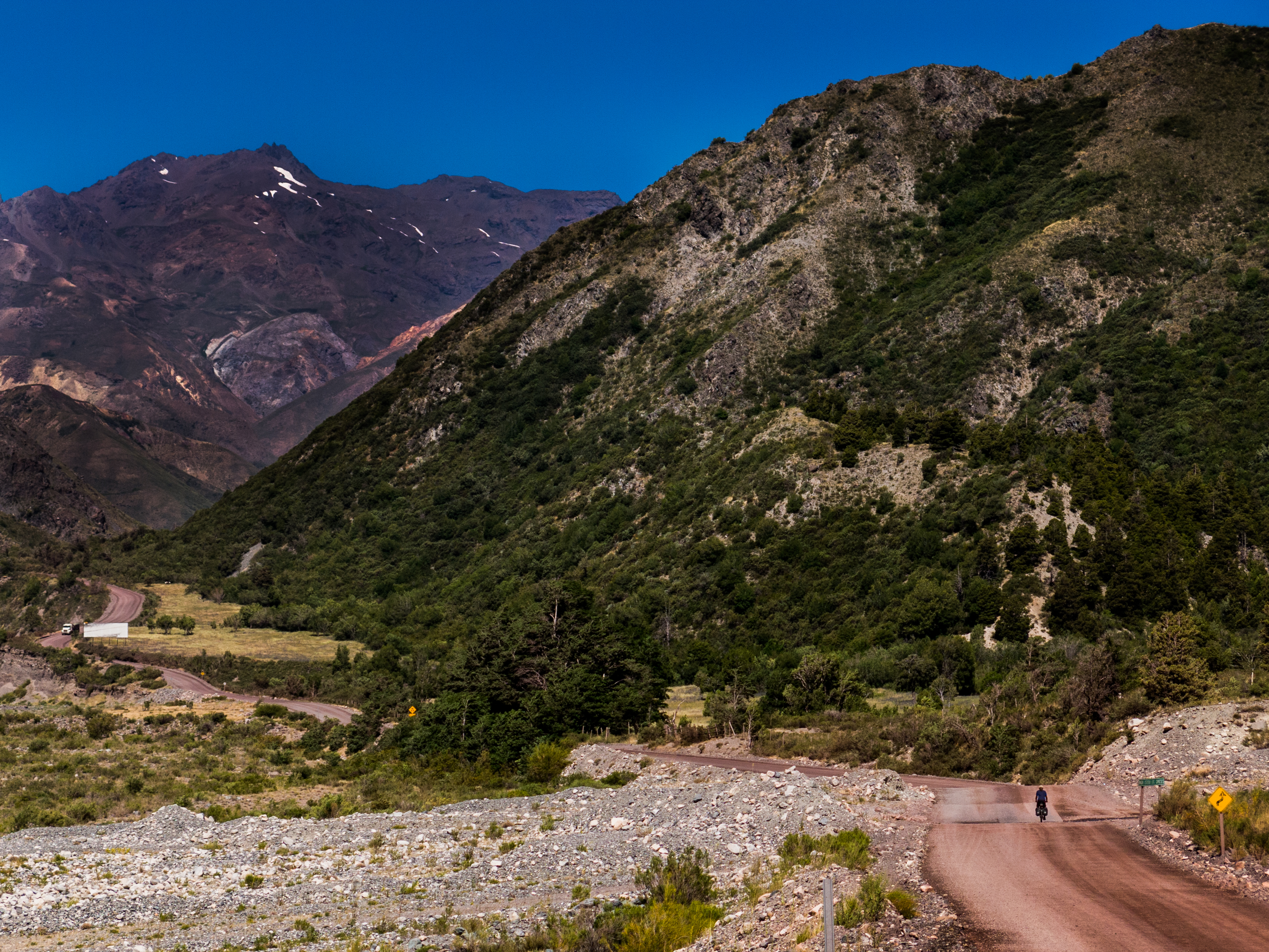
 Heading away from the paved and busy Panamerican highway, back towards the mountains and dirt. As a nation, Chile effectively developed as an island. A huge desert limits access to the country from the north, the Pacific Ocean guards the west, and the Andes form Chile’s eastern border with Argentina. The south guards itself.
 Start of a New Year, traversing the southern hemisphere so it’s the heart of summer now. Colors bleach out into fades under sun so strong. Old pickups on dirt roads winding into mountains, just down here in another American west.
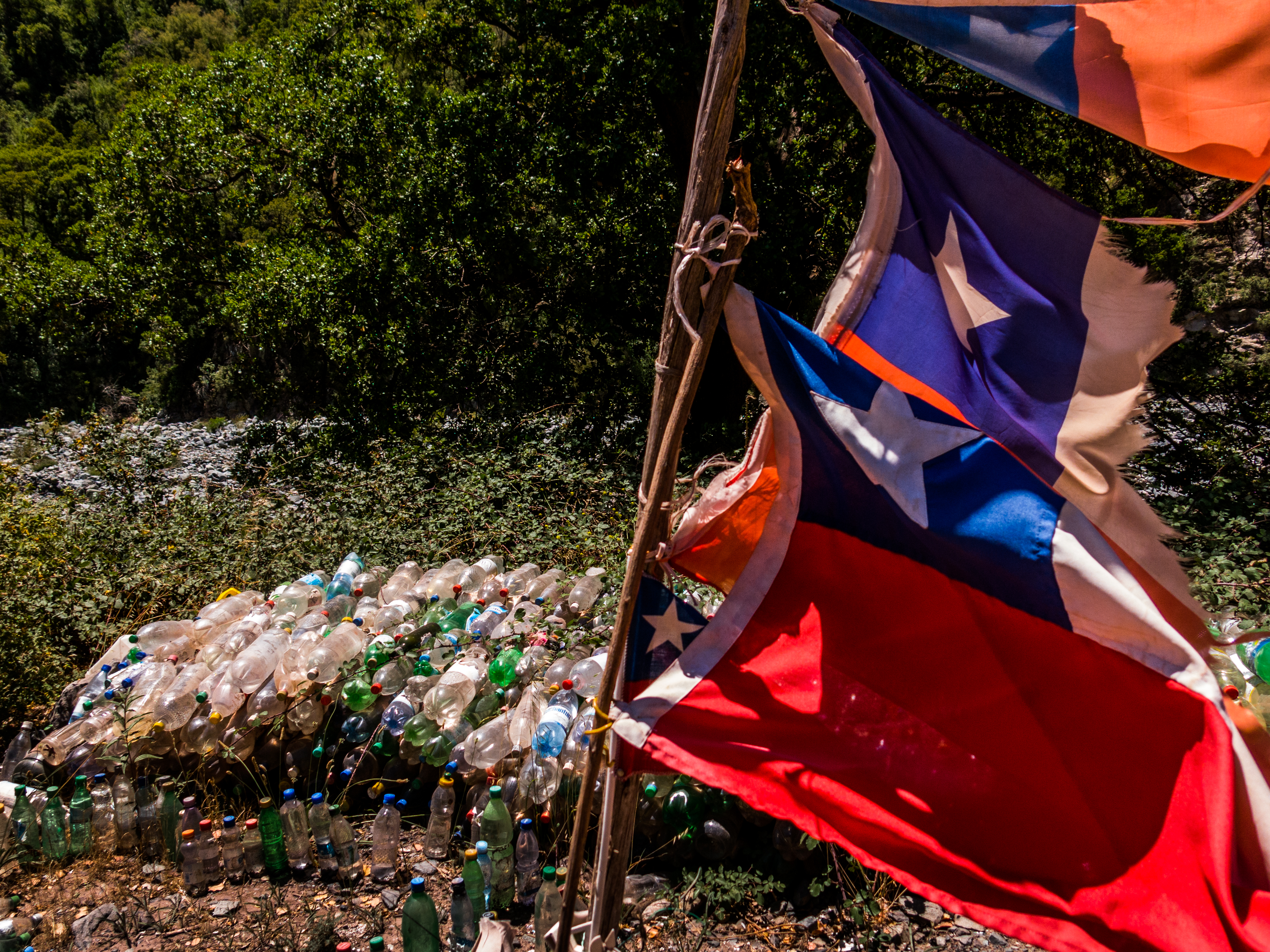 But this is still Latin America, shrines still line the roads. Both Chile and Argentina have a large tradition of popular shrines to La Difrunta Correa, a woman who set off to find her sick soldier husband, with their young baby in tow. She died en route, but the baby survived, and now a proper way to honor her is to leave a bottle of water at one of her shrines. When needed, the shrines also give thirsty cyclists holy water nourishment.
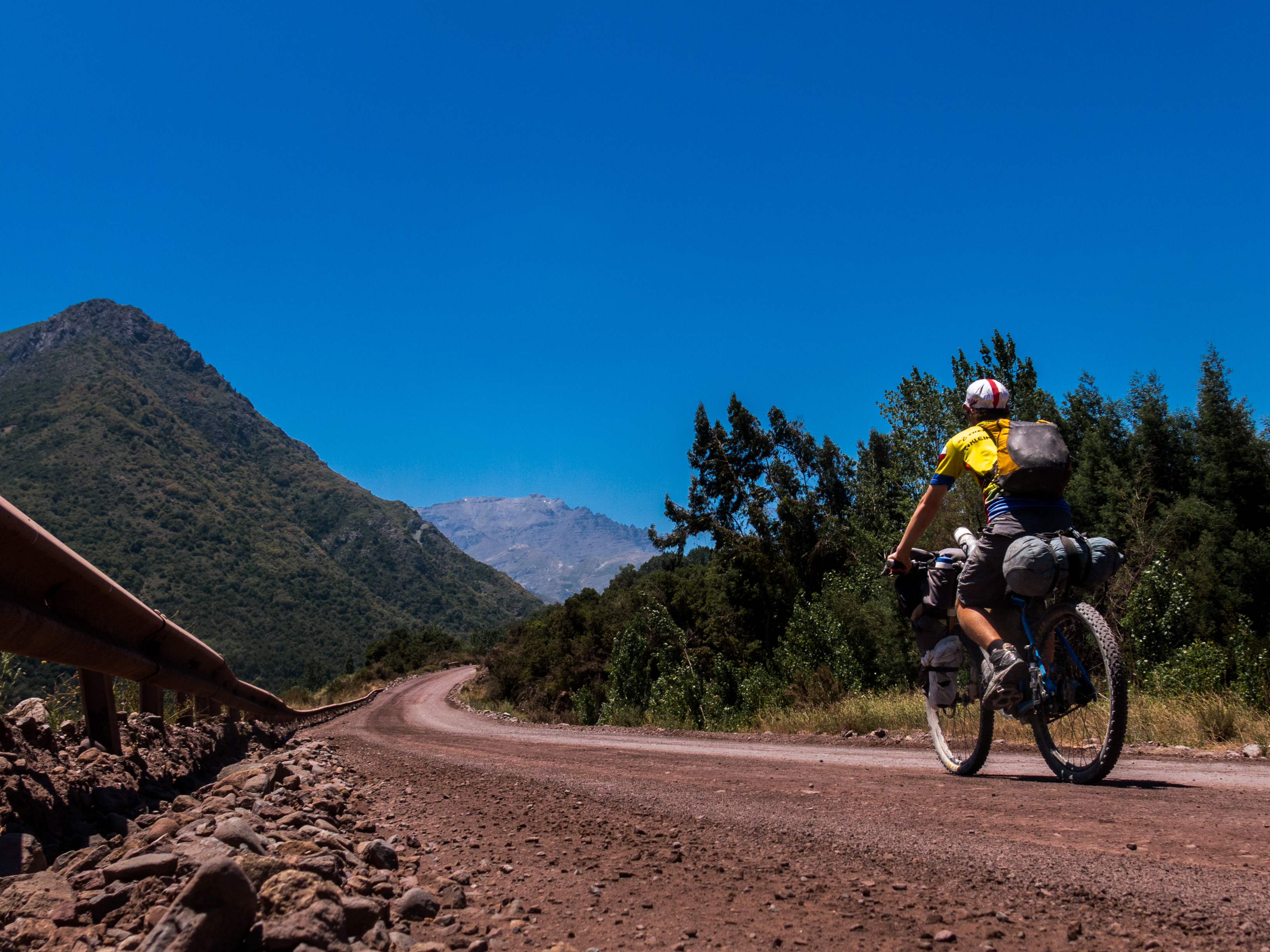
 Our route to the pass follows a river valley, so fresh water is never too hard to find.
 Summertime life.
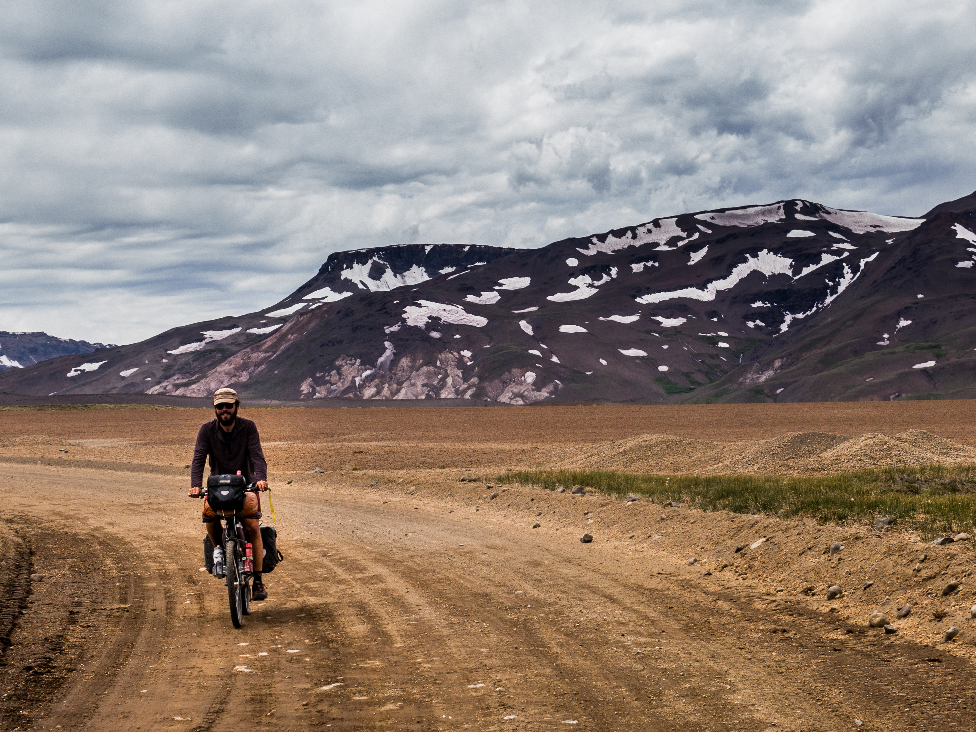
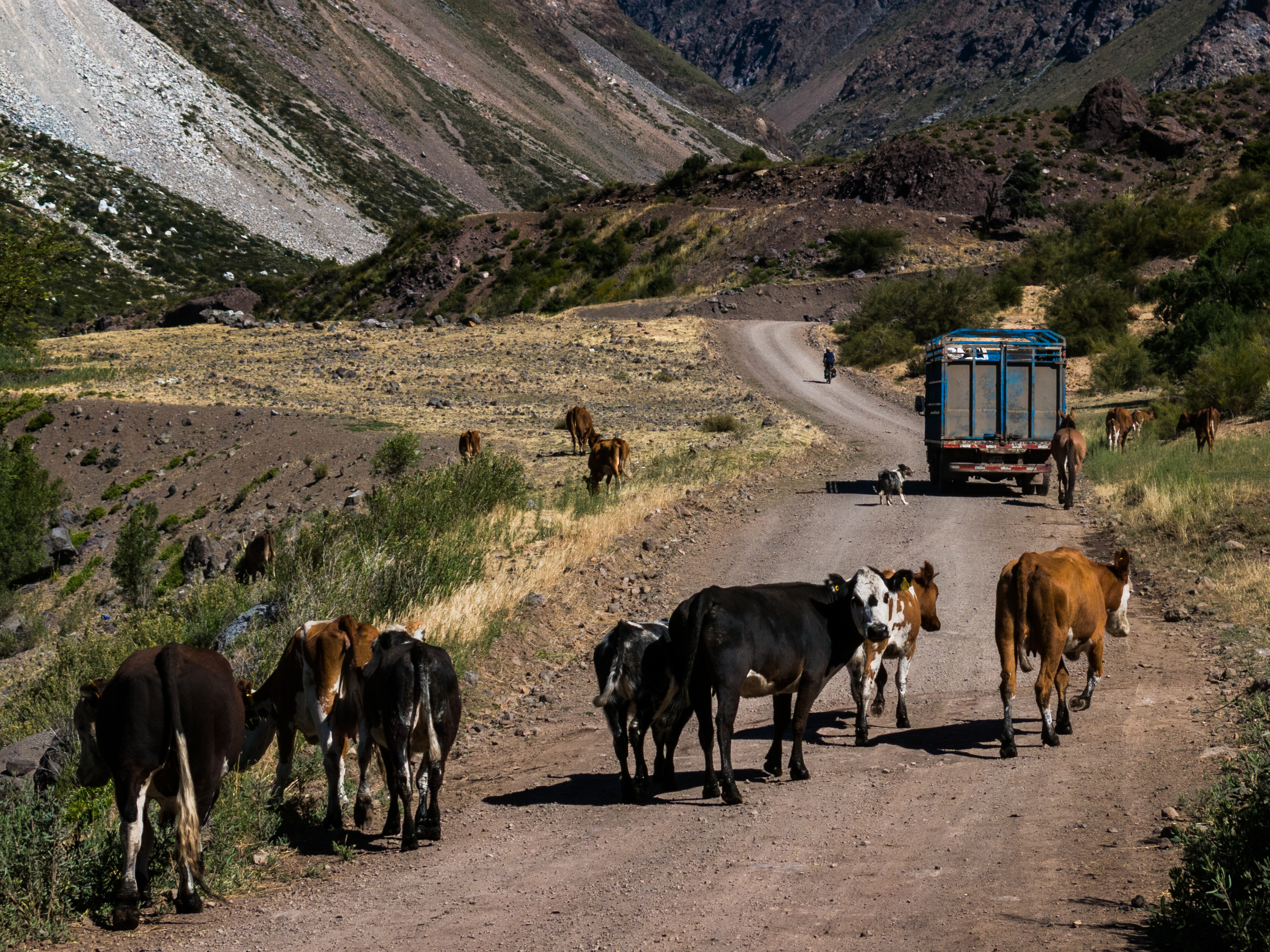 No more llamas, alpacas, or any other camelids. Chile and Argentina are real-life cowboy countries.
 Some for the mountain people…

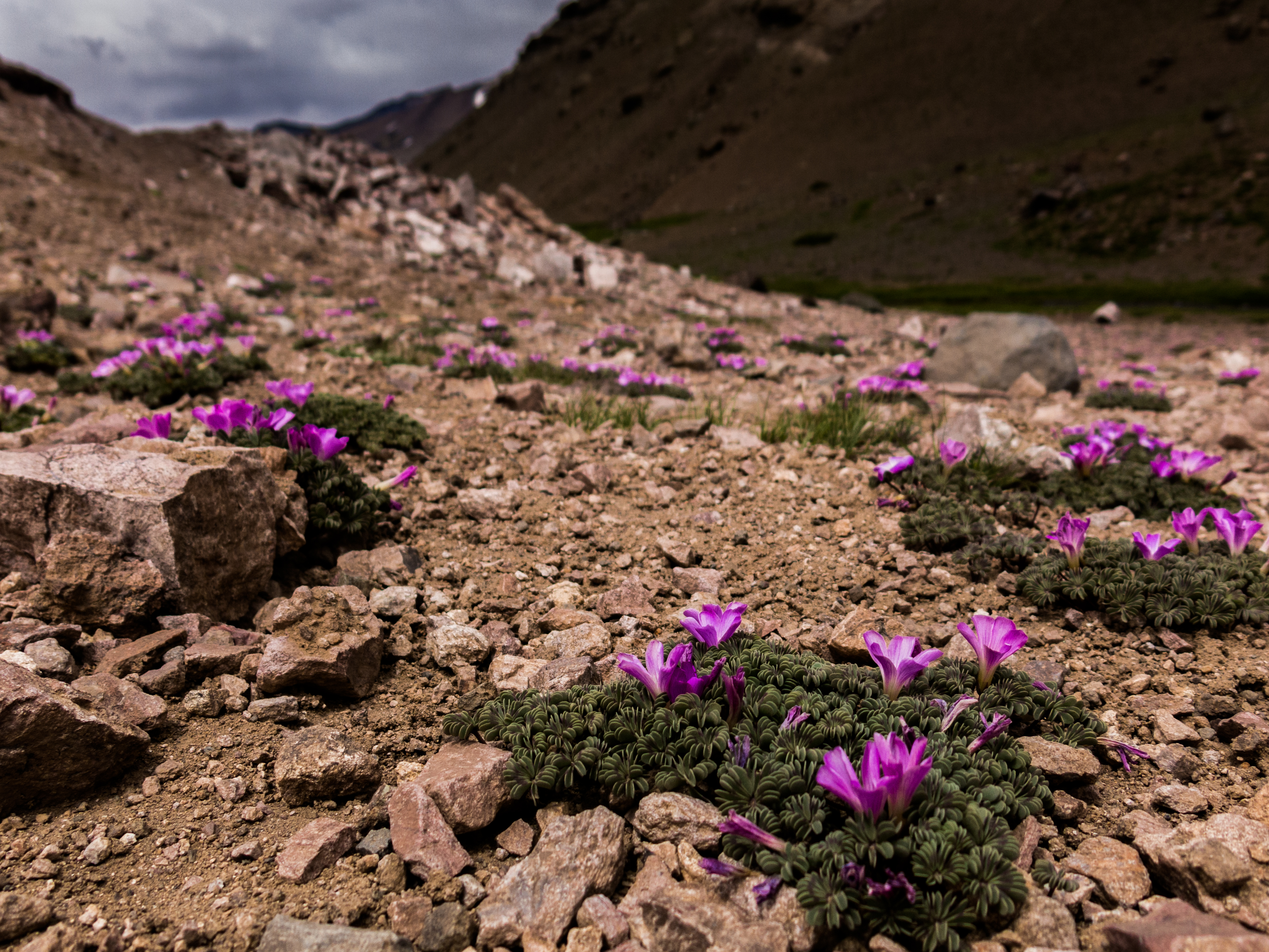

 Paso Vergara. The highest stretches of the Andes are over now. This pass lies at only about 2500m, and yet it’s still surrounded by glaciers all year round. It’s a significant change, to experience. The Andes are starting to taper down, so too is this little migration.
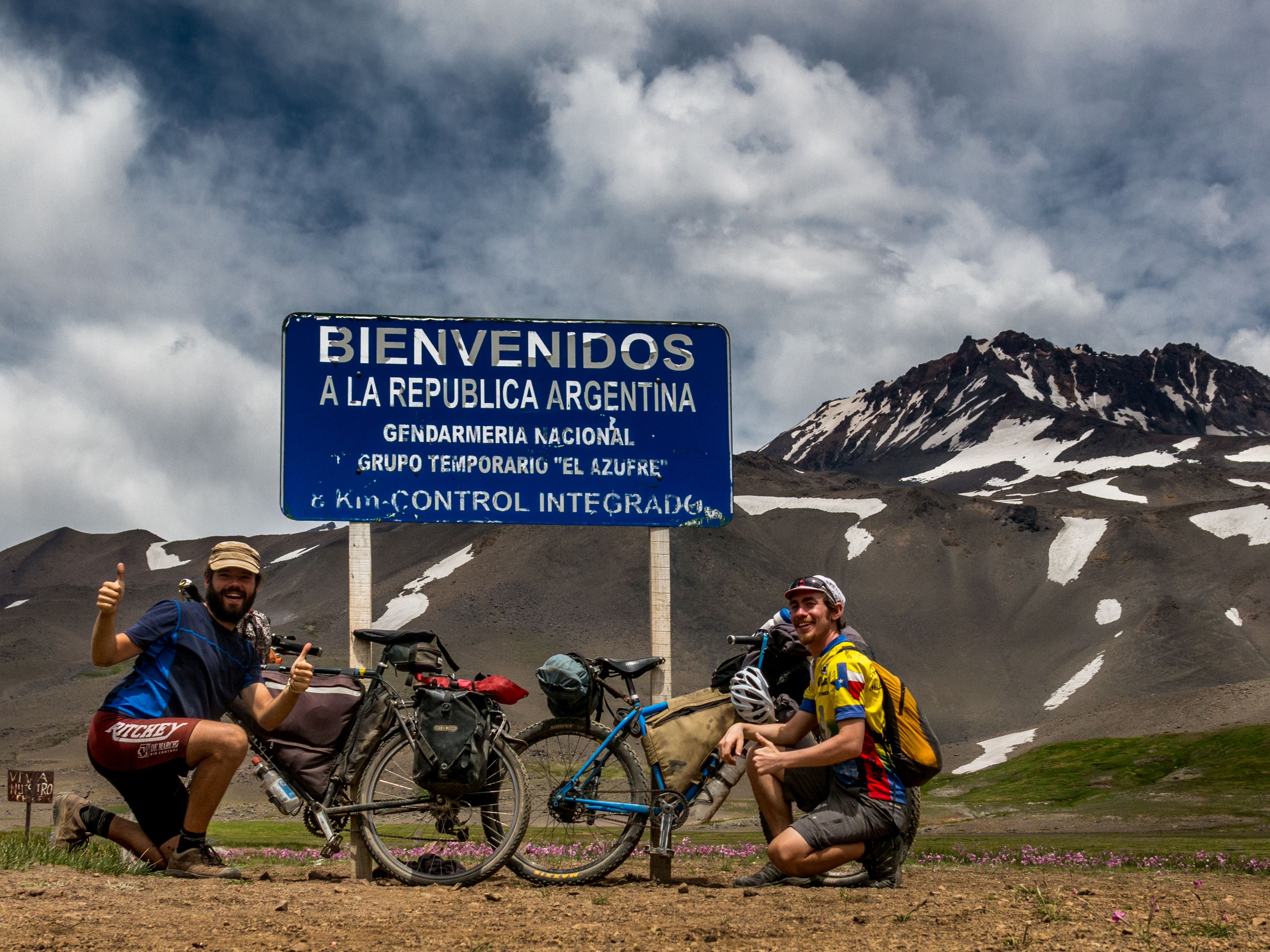
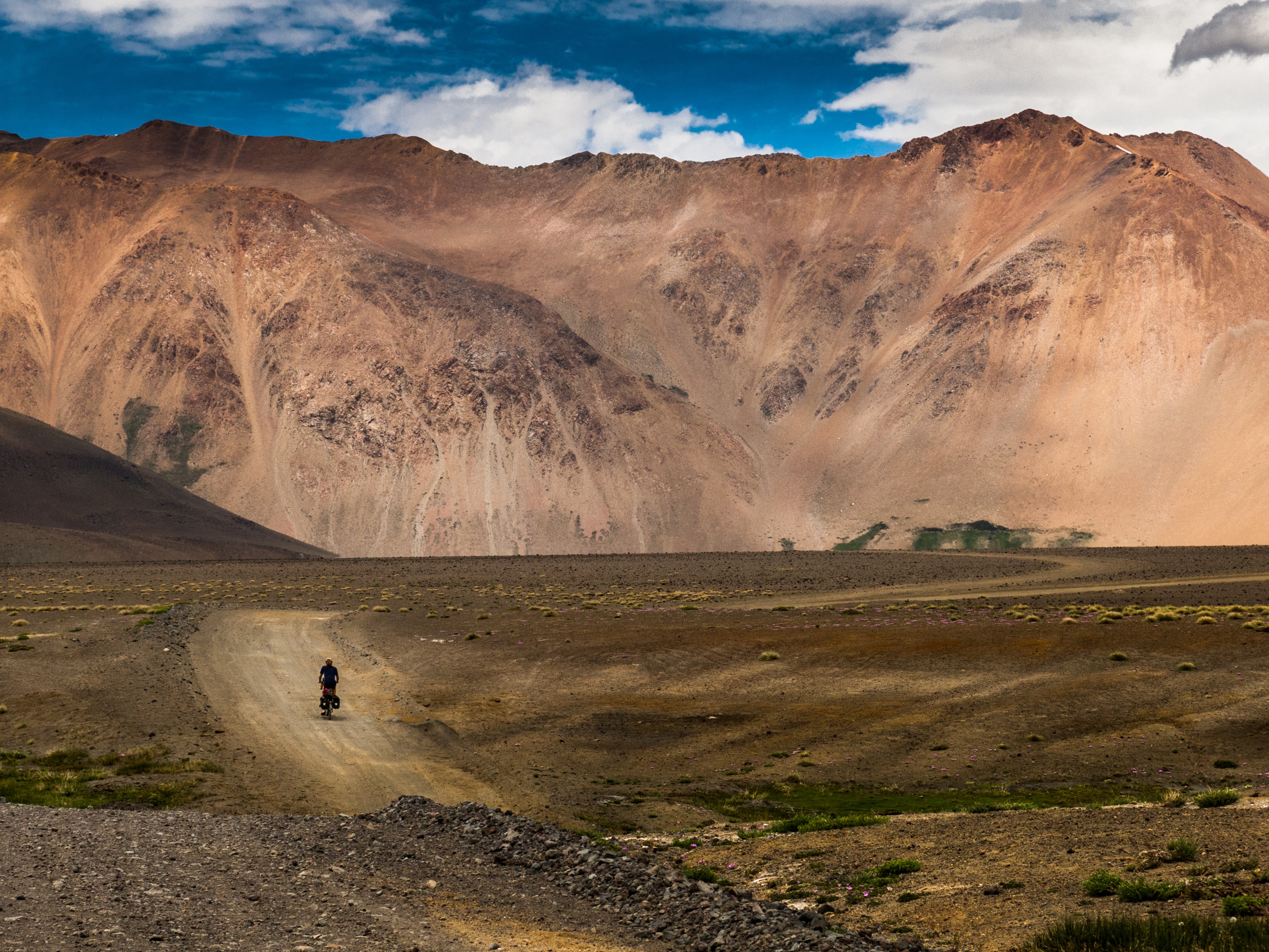 Cross over into Argentina, welcome to stretches of Puna and Pampa. The Argentinean side of the mountains are dryer than in Chile, bare rock walls poke up out of the ground.
 As for traffic… it’s pretty blissfully quiet.
 Lee, coming through some turns and sharing a grin.
 Iron horses vs. blood-sweat-and-tears horses.


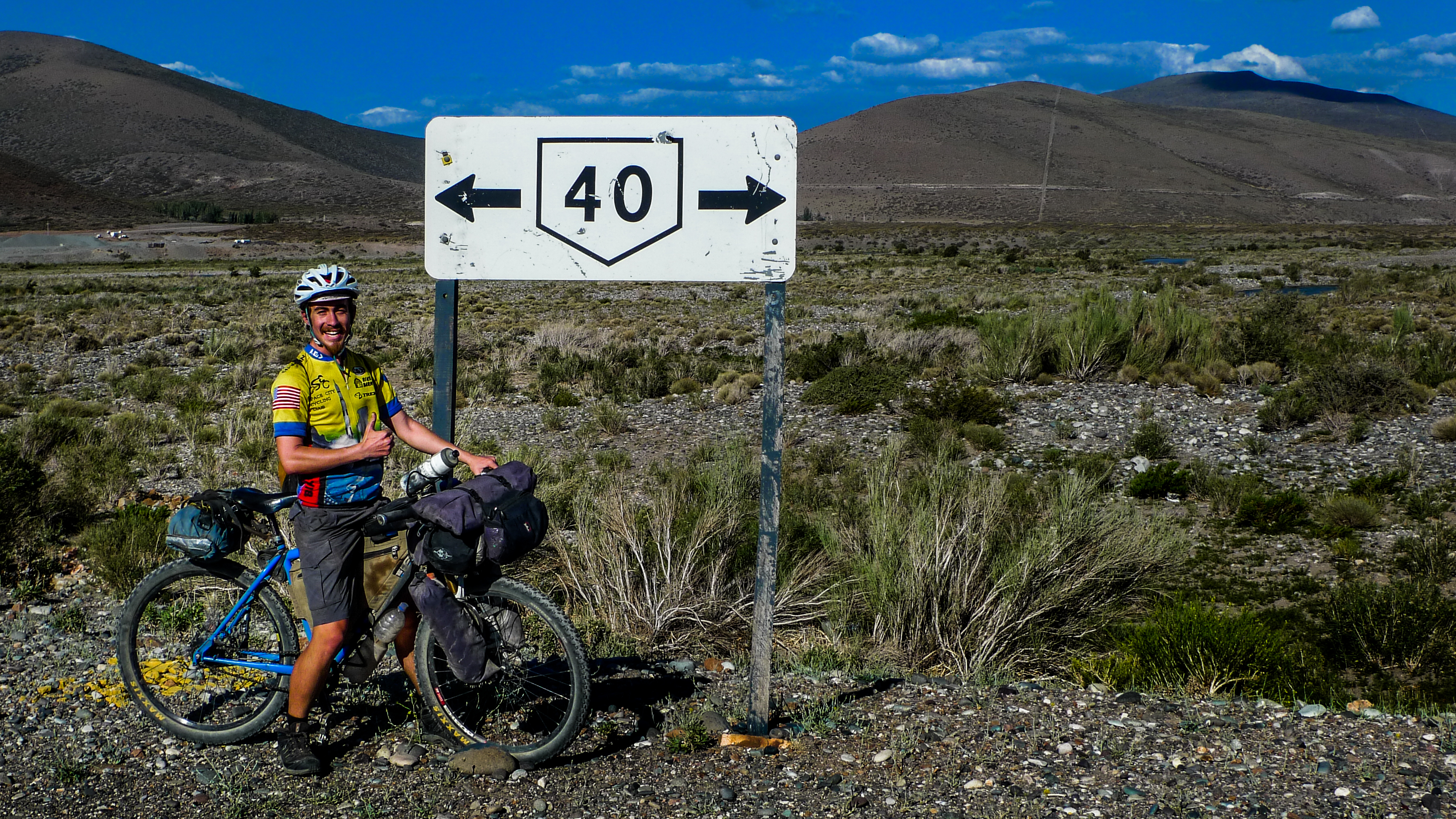 Deposited from the mountains onto Argentina’s famous Ruta 40. The 40 runs north-south along the Argentinean side of the Andes, and, comparable to the US’s Rt. 66, it’s a popular road-trip destination for motorists from across the globe. Roadside kilometer markers show the distance left to the southern end of the 40, under 3000km to go. There’s say 500km from the 40’s end to Ushuaia, so for anyone looking for the shortest distance left to go, there it is, only somewhere around 3500km left. But for Lee and me and Paul and most of us, there’s still a few more detours planned. There’s still another few months left. (Photo by Lee Vilinsky)
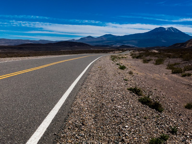
 Despite its fame and age, some sections of the 40 are still maintained ripio gravel surfaces. Child’s play for the Maxxis Ardents. Thoughts pop up about different bike setups for nice gravel roads vs. true off-road mountain bike tracks. Keeping one ear to the ground for future places to visit.
 Dirt roads + heavy car traffic = plentiful dust.
 And then resume Ruta 40’s standard high quality pavement, making miles south to connect to the next pass.
Santiago, Chile to Chos Malal, Argentina via Curico (Ch), Paso Vergara (Ch/Arg border), Las Loicas (Arg), Bardas Blancas (Arg), Barrancas (Arg), Buta Ranquil (Arg).
