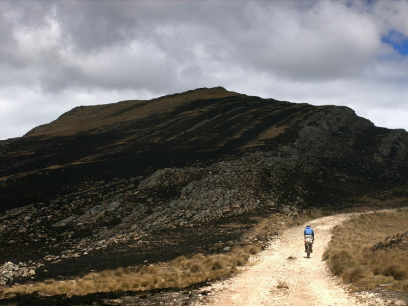
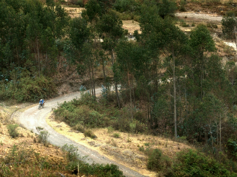
In the beginning, centering this trip around riding dirt roads was an idea, a goal. Now it’s become reality. Paul and I jetted out from Cajamarca almost three weeks ago, finally arriving in Huaraz, spending some 850km linking up one remote village after another. And to finish with a finale, we ended this leg with the premiere Cordillera Blanca Triple Heart Bypass- but more on that to come in the next post. First up, the beginnings of our expeditions into El Silencio regions.
No hay nada arriba, everyone warns. Just the way we like it.
_____________________________
 But this being Peru, where there are houses, there are political agendas.
 Bike setup changes. More on the new setup to come, but for this leg we put into practice the focus of many a dinner conversation and abandoned our rear racks and panniers. The bikes now weigh less, aiding the daily climbing, and the weight of luggage is more centered and less prone to rattling around, improving bike handling during rough descents. However, our carrying capacity is greatly diminished, so we keep a constant eye on the map to know where our next opportunity for food lies.
 We leave Cajamarca aiming for Cajabamba via the dirt tracks through the mountains. Despite the run-in with angry villagers, still a route worth taking.
 On long climbs, glimpses of telecom towers marking the top are always welcome sights.
 Blue skies contrast the faded brown hues on the ground. Even colors have trouble penetrating to this altitude.
 Winding road looking back down.
 From Cajabamba, a short pavement stint brings us to a sandy turnoff before Huamachuco, heading for Pampa el Condor. Sandy roads can’t stop Paul.
 Nor can energy-intensive lunges over mountains only to immediately descend into the canyons on the opposite sides.
 Ascend, descend, repeat. Shades of green.
 Chatting up Angelo from Chugos, future Peruvian cyclist and chess champion. Photo by Paul.
 Scanning for blue and hoping the gray holds off.
 Finally. Only 8hrs to go to the next town.
 Fulfilling my quota of road photos to keep this thing qualified as a bike blog.
 Spot of blue. Photo by me but edited by Paul. Started experimenting this stretch with taking photos in RAW format and editing them on my Nexus tablet. Very pleased with results. Using Android app Photo Mate R2 for editing and processing, definitely more time intensive than just touching up JPEGs, but significantly more editing capabilities. Here Paul and I did a side-by-side comparison to see editing differences between working on his Macbook/Lightroom combo vs. my tablet. Final differences here minor but noticeable. Lightroom offers more control, but does require a full laptop.
 Above 4000m, expect rocky, loose roads. Fatter tires appreciated.
 Even occasionally with color-filled flora.
 Leaving the Pampa el Condor to reach the town of Pampas, we peaked around 4500m only to look down at the start of the 26km descent. The only problem? Night and darkness due in 30min. One of the crazier descents of this trip- food and a bed in Pampas driving us on, navigating by the failing batteries of one headlamp for two people. But even that light all but useless, because to get down from 4500m you need to drop through a layer of cloud and fog, neither ideal to shining a light forwards. Picking lines based on an estimation of where the road drops off to my right and where Paul is riding to my left, blindly trusting that Paul knows where he is in relation to the other side of the road… just a little bit hairy.
 But after spending the night recovering from that ordeal, a short jaunt over to Conchucos for a rest day.
 In unexpected coincidences, we arrive in Conchucos during their weekly patrimonial festival. Quite possibly the only gringos in attendance, we’re enthusiastically welcomed with handshakes and grins, and (not unkind) whispers of “mira, gringos!” every time we venture into the town square. Easily one of the friendliest towns we’ve been to so far in Peru.
 We settle in to watch as the church procession makes its way around the square.
 Tearing out from Conchucos headed upwards once more, making our way towards our first sighting of the Cordillera Blanca range.
 First through valleys and white clouds and, unpictured, angry bulls. When on a remote road and you round a corner to see five farmers yelling and screaming and trying to coax a grunting charging bull towards you… really just try to avoid these situations. I moved off the road far enough away to let them pass, but apparently didn’t move the bike far enough away, so as soon as the farmers let the bull go he charged right for the bike, entangled himself in the front wheel, and then they both went somersaulting down the hillside. Not a great sight to see your bike bouncing beneath the full weight of a bull. Miraculously the only significant damage was a bent front disc brake rotor; but for one more week of high altitude riding to Huaraz who needs front brakes?
 Topping out at more passes to look down at long descents.
 And a long-awaited arrival, the Cordillera Blanca, landscape dominated by glaciated peaks.
_____________________________
Cyclist notes, September 2014:
Cajamarca to Huaraz, via Jesus, Cachachi, Cajabamba, Curgos, Sarin, Pampas, Conchucos, Sihuas, Pomabamba, Yanama, Carhuaz, Punta Olimpica, Chacas, Portachuelo Honda, and Macara.
This first sighting of the Cordillera Blanca occurs between Conchucos and Sihuas. Following Sihuas, we stayed on the eastern side of the Cordillera Blanca range and continued on small roads to Yanama and the start of the passes over the Cordillera. This skips the famous Cañon de Pato route, but keeps you in high altitude dirt riding instead of taking you into dry dusty canyons. We were ok with the tradeoff, and staying on the eastern side put us in position to hit up 3 passes over the Cordillera and still end up on the same side of the range as Huaraz without backtracking. Details on that up next. Paul has a GPX track of this eastern route post-Sihuas on his blog.
Internet is essentially nonexistent after Cajabamba. From Conchucos to Yanama, there may be some kind of either municipal WiFi or slow connection Internet cafes teeming with screaming video game children. But don’t count on it. We were directed to Huaraz and Lima for actual reliable connections. In towns on the western side of the Cordillera Blanca, internet much more existent.


Acero strong like bull. Acero unscathed by bull. Acero is a real steel.